


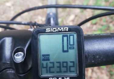
16,6 km | 17,8 km-effort


Utilisateur


Application GPS de randonnée GRATUITE
 SityTrail
IGN / Instituts géographiques
SityTrail World
Le monde est à vous
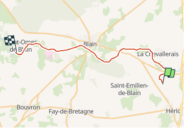
Randonnée Marche de 21 km à découvrir à Pays de la Loire, Loire-Atlantique, Héric. Cette randonnée est proposée par copter.
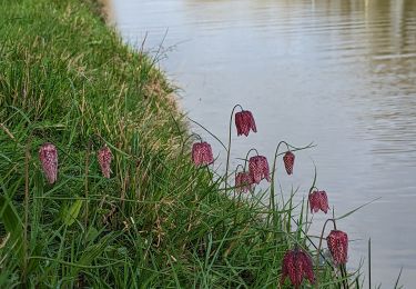
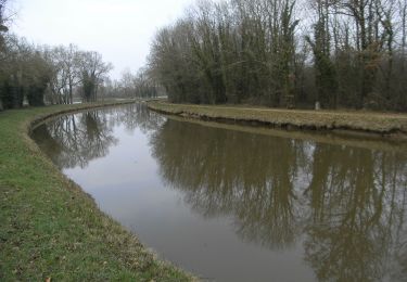
Canal Nantes à Brest à pied.
De la Renaudais à Saint Omer de Blain en passant par le château de Blain.
Marche
A pied
V.T.C.

V.T.T.

Marche nordique
Marche nordique

Marche
Marche nordique
Marche