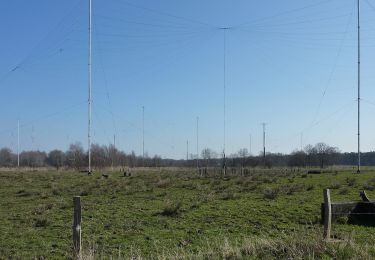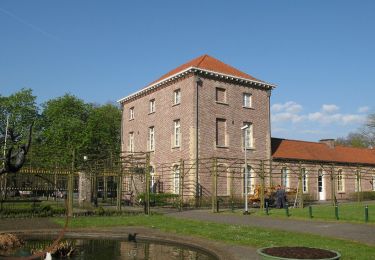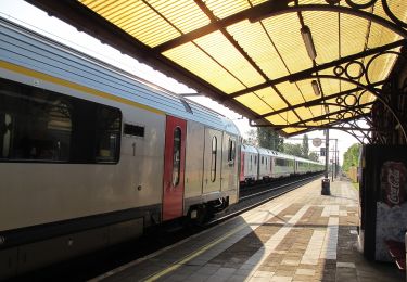

Blekkersbos/Hoogveld Maria-Aalter (11km) (StepAway.be)

corry.vandenbroeke
Utilisateur

Longueur
10,7 km

Altitude max
38 m

Dénivelé positif
127 m

Km-Effort
12,4 km

Altitude min
11 m

Dénivelé négatif
127 m
Boucle
Oui
Date de création :
2016-05-05 00:00:00.0
Dernière modification :
2016-05-05 00:00:00.0
2h41
Difficulté : Facile

Application GPS de randonnée GRATUITE
À propos
Randonnée Marche de 10,7 km à découvrir à Flandre, Flandre orientale, Aeltre. Cette randonnée est proposée par corry.vandenbroeke.
Description
Start: Stratem (Parking net voorbij boswachtershuis) - 9880 Maria-Aalter.
Klein stuk geasfalteerd, de rest geschikt voor Nordic Walking. Vrij drassig na regenweer. Deze wandeling wordt U gratis aangeboden door www.StepAway.be
Localisation
Pays :
Belgique
Région :
Flandre
Département/Province :
Flandre orientale
Commune :
Aeltre
Localité :
Aalter
Départ:(Dec)
Départ:(UTM)
527886 ; 5659671 (31U) N.
Commentaires
Randonnées à proximité

Gulke Putten - Blauwe Wandeling


A pied
Facile
Wingene,
Flandre,
Flandre-Occidentale,
Belgique

7,3 km | 8 km-effort
1h 49min
Oui

Gulke Putten - Rode Wandeling


A pied
Facile
Wingene,
Flandre,
Flandre-Occidentale,
Belgique

5,5 km | 6,2 km-effort
1h 24min
Oui

De Vaanders


A pied
Facile
Aeltre,
Flandre,
Flandre orientale,
Belgique

3,3 km | 3,7 km-effort
50min
Oui

Parochieveld


A pied
Facile
Ruiselede,
Flandre,
Flandre-Occidentale,
Belgique

8,4 km | 9,5 km-effort
2h 9min
Oui

Bruwaanpad


A pied
Facile
Ruiselede,
Flandre,
Flandre-Occidentale,
Belgique

4,5 km | 5,1 km-effort
1h 9min
Oui

GR 129 : Aalter > Deinze


Marche
Très facile
Aeltre,
Flandre,
Flandre orientale,
Belgique

34 km | 37 km-effort
8h 3min
Non

GR 129 : Beernem > Aalter


Marche
Très facile
Beernem,
Flandre,
Flandre-Occidentale,
Belgique

26 km | 29 km-effort
6h 17min
Non

Wandelen_als_een_trein


Marche
Très facile
Beernem,
Flandre,
Flandre-Occidentale,
Belgique

12,7 km | 14,2 km-effort
Inconnu
Non

Slenteren_langs_kanaaloevers


Marche
Très facile
Beernem,
Flandre,
Flandre-Occidentale,
Belgique

8 km | 8,6 km-effort
Inconnu
Oui


 SityTrail


