


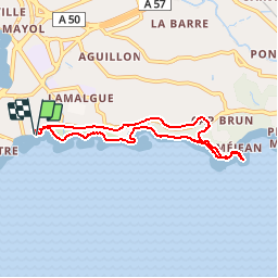


4,6 km | 10,1 km-effort


Utilisateur


Application GPS de randonnée GRATUITE
 SityTrail
IGN / Instituts géographiques
SityTrail World
Le monde est à vous
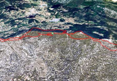
Randonnée Marche de 7 km à découvrir à Provence-Alpes-Côte d'Azur, Var, Toulon. Cette randonnée est proposée par slaf83.
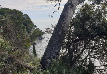
Du fort St Louis à l'anse de méjean par le sentier des douaniers
Ballade sympa au bord de mer
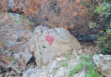
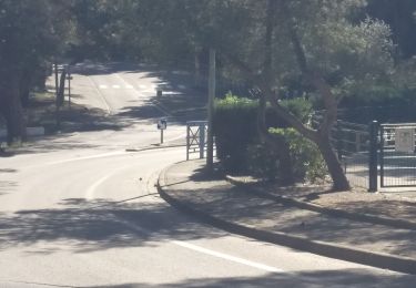
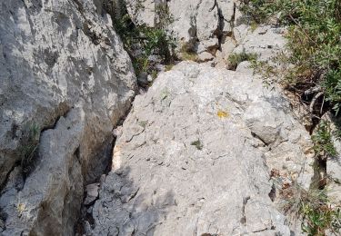
Le sentier est en partie fermé pour des raisons de sécurité
Je dirai interdit au moins de 12ans

Marche
Marche
Marche

Marche
Marche
Marche
Marche nordique
Marche nordique
Marche