


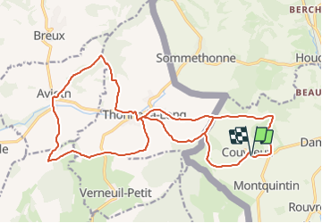


7,5 km | 11 km-effort


Randonnez sur et autour des GR ® wallons (Sentiers de Grande Randonnée). PRO


Application GPS de randonnée GRATUITE
 SityTrail
IGN / Instituts géographiques
SityTrail World
Le monde est à vous
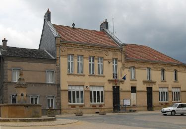
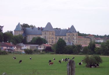
Randonnée Marche de 26 km à découvrir à Wallonie, Luxembourg, Rouvroy. Cette randonnée est proposée par GR Rando.
RB-Lu-18 - Boucle française -En Provence belge
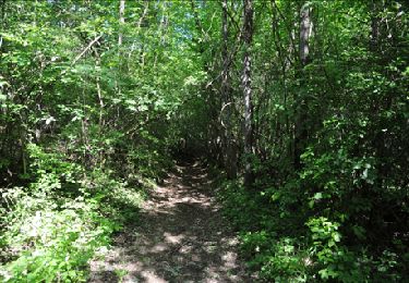
Marche
A pied
A pied
Marche

Cheval
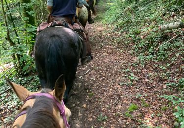
Randonnée équestre
Marche

A pied
V.T.T.