


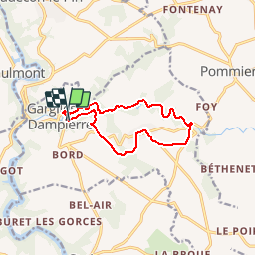


15,8 km | 19,7 km-effort


Utilisateur


Application GPS de randonnée GRATUITE
 SityTrail
IGN / Instituts géographiques
SityTrail World
Le monde est à vous
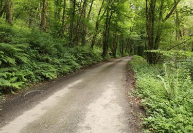
Randonnée Marche de 10,7 km à découvrir à Centre-Val de Loire, Indre, Gargilesse-Dampierre. Cette randonnée est proposée par Phil36.
balissage jaune
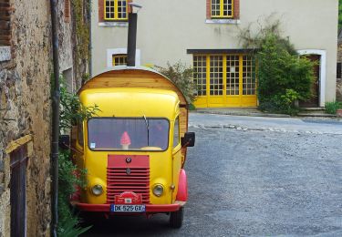
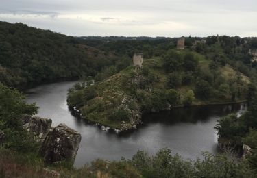
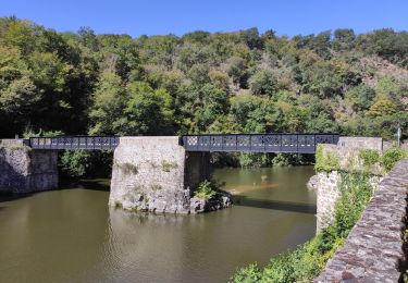
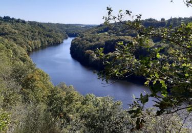
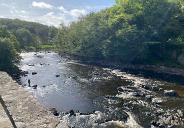
C'est une petite Suisse...Les maisons se groupent autour de l'église plantée sur le rocher central, et s'en vont en pente, par des ruelles étroites,jusque vers le lit d'un délicieux lit, petit torrent.

Marche
A pied
Marche
Marche
Marche
Marche


sport
sport
Marche