


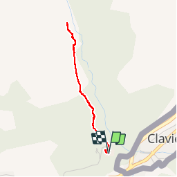


15,4 km | 32 km-effort

Utilisateur GUIDE


Application GPS de randonnée GRATUITE
 SityTrail
IGN / Instituts géographiques
SityTrail World
Le monde est à vous
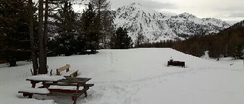
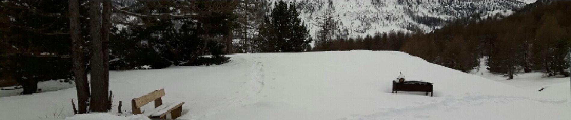
Randonnée Raquettes à neige de 3,1 km à découvrir à Provence-Alpes-Côte d'Azur, Hautes-Alpes, Montgenèvre. Cette randonnée est proposée par amiral13.
jolie balade en sous-bois que l'on peut prolonger jusqu'à la côte 2107 en passant par le lit du rio secco si l'enneigement est suffisant


Marche
Marche
Marche

Marche

Marche

Marche

Marche

V.T.T.
Marche