


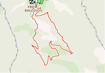

7,2 km | 15,3 km-effort

Utilisateur


Application GPS de randonnée GRATUITE
 SityTrail
IGN / Instituts géographiques
SityTrail World
Le monde est à vous
Randonnée Raquettes à neige de 12,6 km à découvrir à Occitanie, Pyrénées-Orientales, Fontpédrouse. Cette randonnée est proposée par jpipacific.
Peu d'intérêt. Ca monte tout le temps sans pause. C'est interminable... Le paysage n'est pas mal mais que sur la fin. La descente est longue et abrupte.


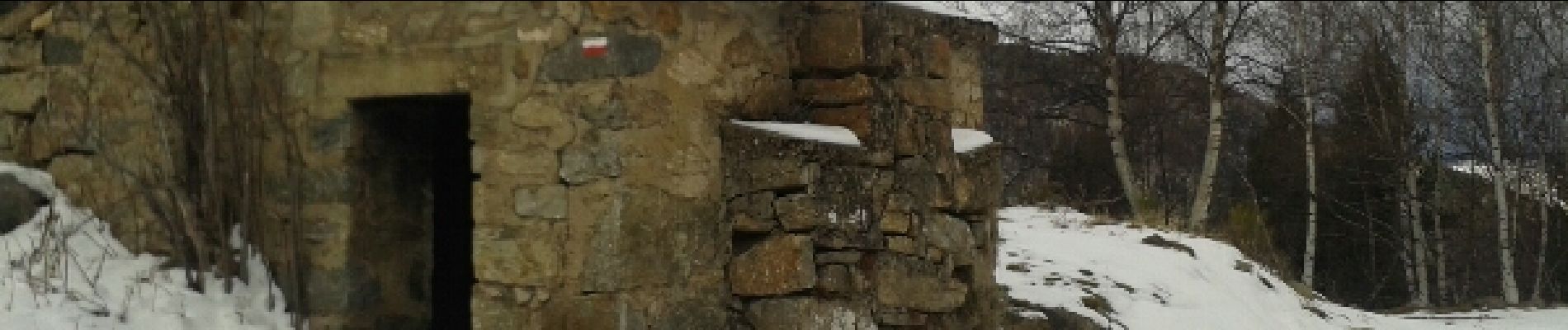
Marche
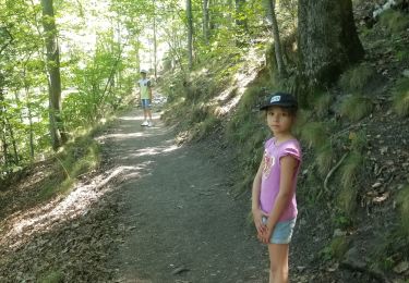
Marche

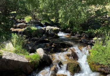
Marche

Marche

Marche
Marche
Marche
Marche

Marche