


146 km | 178 km-effort


Utilisateur


Application GPS de randonnée GRATUITE
 SityTrail
IGN / Instituts géographiques
SityTrail World
Le monde est à vous
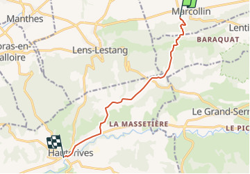
Randonnée Autre activité de 8,9 km à découvrir à Auvergne-Rhône-Alpes, Isère, Marcollin. Cette randonnée est proposée par pconte.
Ballade de Marcollin vers Hauterives en passant par le plateau des Feytaux puis par les terres blanches et les Fromentaux.

Vélo de route

Marche
Vélo
Marche
Randonnée équestre
Marche
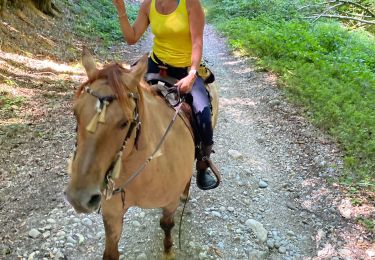
Randonnée équestre
Marche
Marche