


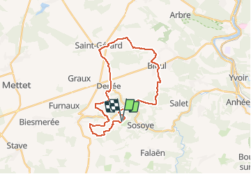


16,7 km | 21 km-effort

Utilisateur GUIDE


Application GPS de randonnée GRATUITE
 SityTrail
IGN / Instituts géographiques
SityTrail World
Le monde est à vous
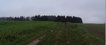
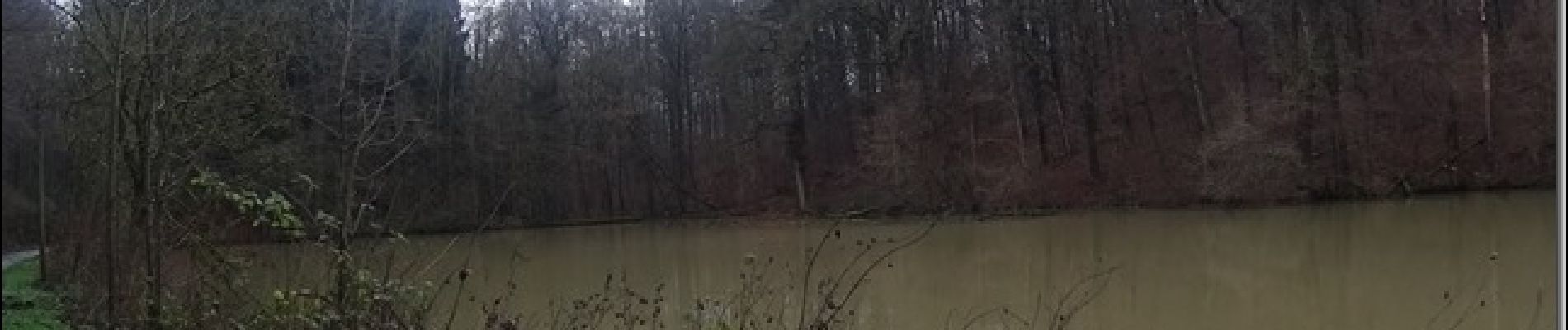
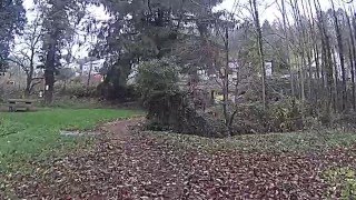
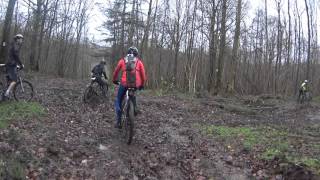
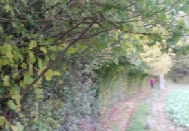
Randonnée V.T.T. de 26 km à découvrir à Wallonie, Namur, Anhée. Cette randonnée est proposée par pascalou73.
Une rando VTT dans la région de la molignée avec les villages de toute beauté .avec de senties entre bois et champs et le vignoble de bioul.


Marche

Marche

Marche

Marche

Marche

Marche

Marche

Marche
Marche