


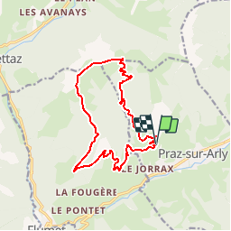

10,2 km | 17,6 km-effort


Utilisateur GUIDE


Application GPS de randonnée GRATUITE
 SityTrail
IGN / Instituts géographiques
SityTrail World
Le monde est à vous
Randonnée Marche de 14,6 km à découvrir à Auvergne-Rhône-Alpes, Haute-Savoie, Praz-sur-Arly. Cette randonnée est proposée par Desrumaux.
Détails de la rando sur TraceGPS.com
http://www.tracegps.com/fr/parcours/circuit1944.htm
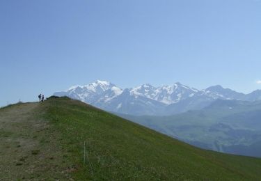
Marche
Marche

Marche

Ski de randonnée

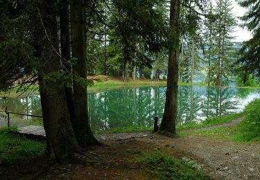
Marche

Autre activité

Marche
Marche
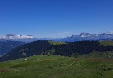
Marche