


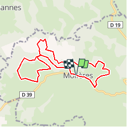

12,8 km | 17,8 km-effort


Utilisateur


Application GPS de randonnée GRATUITE
 SityTrail
IGN / Instituts géographiques
SityTrail World
Le monde est à vous
Randonnée Cheval de 8,9 km à découvrir à Occitanie, Lot, Molières. Cette randonnée est proposée par lafage.
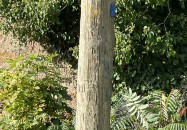
Pr balise en jaune

Marche
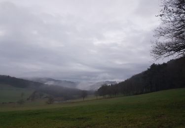

Marche
