14 km | 17,5 km-effort
9 dec negrevergne
melifranck
Utilisateur
Longueur
5,2 km
Altitude max
593 m
Dénivelé positif
144 m
Km-Effort
7,1 km
Altitude min
490 m
Dénivelé négatif
135 m
Boucle
Non
Date de création :
2015-12-27 00:00:00.0
Dernière modification :
2015-12-27 00:00:00.0
1h01
Difficulté : Facile
Application GPS de randonnée GRATUITE
À propos
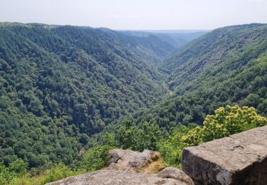
Randonnée Cheval de 5,2 km à découvrir à Nouvelle-Aquitaine, Corrèze, Camps-Saint-Mathurin-Léobazel. Cette randonnée est proposée par melifranck.
Localisation
Pays :
France
Région :
Nouvelle-Aquitaine
Département/Province :
Corrèze
Commune :
Camps-Saint-Mathurin-Léobazel
Localité :
Unknown
Départ:(Dec)
Départ:(UTM)
423441 ; 4983664 (31T) N.
Commentaires
Randonnées à proximité
Camps - Saint-Mathurin : entre terre et eaux
Marche
Difficile
(1)
Camps-Saint-Mathurin-Léobazel,
Nouvelle-Aquitaine,
Corrèze,
France
3h 58min
Oui
La Via Arverna (Camps-Saint-Mathurin - Bretenoux)
Marche
Difficile
(1)
Camps-Saint-Mathurin-Léobazel,
Nouvelle-Aquitaine,
Corrèze,
France
29 km | 39 km-effort
8h 0min
Non
Fred BC GOULLES
Marche
Moyen
Goulles,
Nouvelle-Aquitaine,
Corrèze,
France
8,3 km | 11,4 km-effort
2h 49min
Oui
Les tours Carbonnieres
Marche
Difficile
Goulles,
Nouvelle-Aquitaine,
Corrèze,
France
11,4 km | 16 km-effort
4h 20min
Oui
de Camps St Mathurin à Laval de Cere
Marche
Moyen
Camps-Saint-Mathurin-Léobazel,
Nouvelle-Aquitaine,
Corrèze,
France
20 km | 30 km-effort
6h 37min
Non
jour 7 puyla camps estayrie 44 +1028 -1209
Vélo électrique
Difficile
Camps-Saint-Mathurin-Léobazel,
Nouvelle-Aquitaine,
Corrèze,
France
44 km | 58 km-effort
Inconnu
Non
Le rocher du peintre
Marche
Moyen
Camps-Saint-Mathurin-Léobazel,
Nouvelle-Aquitaine,
Corrèze,
France
9,1 km | 11,2 km-effort
2h 2min
Non
Lap 03
Cheval
Facile
Camps-Saint-Mathurin-Léobazel,
Nouvelle-Aquitaine,
Corrèze,
France
5,1 km | 7 km-effort
52min
Oui
camps_25K
Course à pied
Moyen
Camps-Saint-Mathurin-Léobazel,
Nouvelle-Aquitaine,
Corrèze,
France
25 km | 41 km-effort
Inconnu
Non