Randonnée Marche Saint-Georges-de-Rex -  Saint Georges-de-Rex - Photo
 olaze
olaze

Utilisateur

© OpenStreetMap contributors
Longueur
Longueur
12 km
Altitude max
Altitude max
18 m
Dénivelé positif
Dénivelé positif
57 m
Km-Effort
Km-Effort  
12,8 km
Altitude min
Altitude min
2 m
Dénivelé négatif
Dénivelé négatif
57 m
Boucle
Boucle
Oui
Date de création :
2014-12-10 00:00:00.0
Dernière modification :
2014-12-10 00:00:00.0

(0 Avis)

Marche
Marche
2h51
Difficulté : Facile

Scannez ce code QR pour ouvrir la randonnée dans l'application SityTrail

Application GPS de randonnée GRATUITE

Logo SityTrail SityTrail

IGN / Instituts géographiques

Télécharger SityTrail sur l'App Store Télécharger SityTrail sur Google Play

Logo SityTrail SityTrail World

Le monde est à vous

Télécharger SityTrail sur l'App Store Télécharger SityTrail sur Google Play Télécharger SityTrail sur Huawei AppGallery

À propos

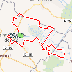
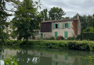
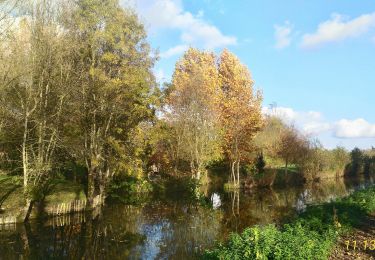
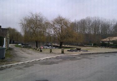
Randonnée Marche de 12 km à découvrir à Nouvelle-Aquitaine, Deux-Sèvres, Saint-Georges-de-Rex. Cette randonnée est proposée par olaze.

Description

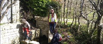
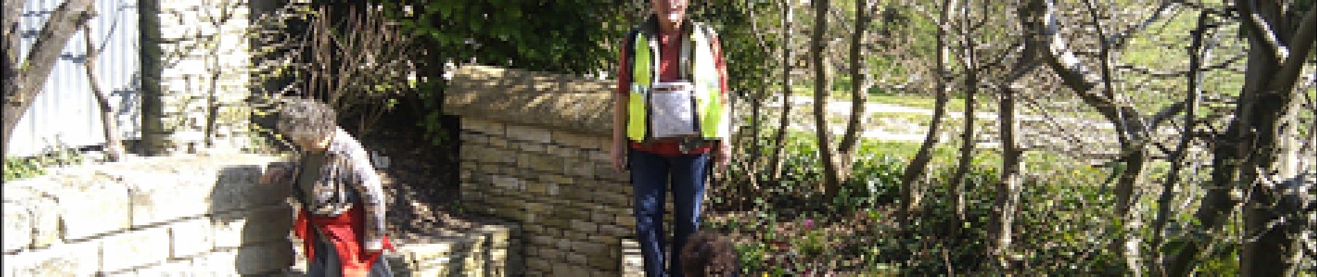
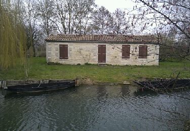
Marche autour de Saint Georges-de-Rex et dans le marais.
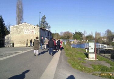
club rando Bessines.2011-03-22

Profil altimétrique

Photos

Points d'intérêt

Point d'intérêt Saint-Georges-de-Rex - Fontaine - Photo
olaze
SAINT-GEORGES-DE-REX 

Localisation

Pays :
France
Région :
Nouvelle-Aquitaine
Département/Province :
Deux-Sèvres
Commune :
Saint-Georges-de-Rex
Localité :
Unknown
Départ:(Dec)
Départ:(UTM)
680955 ; 5127521 (30T) N.

Randonnées à proximité

Randonnée Marche Arçais - Arçais - Photo
Marche
olaze

Marche

Facile
(2)
Arçais, Nouvelle-Aquitaine, Deux-Sèvres, France
9,6 km | 10,2 km-effort
2h 25min
Oui
Randonnée V.T.T. Sansais - La Garette - Saint Georges de Reix - Photo
V.T.T.
jlgrellier

V.T.T.

Facile
(1)
Sansais, Nouvelle-Aquitaine, Deux-Sèvres, France
25 km | 27 km-effort
1h 50min
Oui
Randonnée Marche Coulon - Magné/Coulon - Sèvre et légendes - Photo
Marche
Gregory Herlaud

Marche

Facile
Coulon, Nouvelle-Aquitaine, Deux-Sèvres, France
13,5 km | 14,7 km-effort
3h 48min
Oui
Randonnée Marche Coulon - Village de La Sèvre (pont Irleau)9,4km - Photo
Marche
olaze

Marche

Facile
Coulon, Nouvelle-Aquitaine, Deux-Sèvres, France
9,5 km | 10,1 km-effort
2h 15min
Oui
Randonnée Marche Sansais - La Garette (par la Sotterie - Photo
Marche
olaze

Marche

Facile
(2)
Sansais, Nouvelle-Aquitaine, Deux-Sèvres, France
11 km | 12 km-effort
2h 39min
Oui
Randonnée Marche Coulon - Coulon- circuit 2 (7,8 km) - Photo
Marche
olaze

Marche

Très facile
Coulon, Nouvelle-Aquitaine, Deux-Sèvres, France
9,3 km | 9,9 km-effort
2h 11min
Oui
Randonnée Marche Le Vanneau-Irleau - Le Vanneau circuit sec - Photo
Marche
olaze

Marche

Facile
Le Vanneau-Irleau, Nouvelle-Aquitaine, Deux-Sèvres, France
7,4 km | 7,9 km-effort
1h 53min
Oui
Randonnée Marche Coulon - La Sotterie circuit 2 - Photo
Marche
olaze

Marche

Facile
(1)
Coulon, Nouvelle-Aquitaine, Deux-Sèvres, France
11 km | 11,7 km-effort
2h 36min
Oui
Randonnée Marche Le Vanneau-Irleau - Le Vanneau circuit sec - Photo
Marche
olaze

Marche

Facile
Le Vanneau-Irleau, Nouvelle-Aquitaine, Deux-Sèvres, France
7,4 km | 7,9 km-effort
1h 45min
Oui


Fermer
Mes abonnements