


9,8 km | 17 km-effort


Utilisateur


Application GPS de randonnée GRATUITE
 SityTrail
IGN / Instituts géographiques
SityTrail World
Le monde est à vous
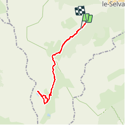
Randonnée Marche de 14,9 km à découvrir à Provence-Alpes-Côte d'Azur, Alpes-Maritimes, Saint-Dalmas-le-Selvage. Cette randonnée est proposée par lecynophile.
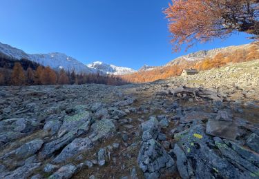
Ici départ de la balise 72, on peut monter en voiture jusque la balise 73 mais c'est un chemin de pierre.
On peut partir de Saint Dalmas Selvage, mais jusqu'à la balise 73 la balade ne présente que peu d'intérêt.
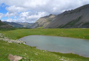
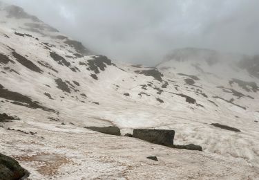
La balade se fait facilement jusqu'aux lacs
A pied

A pied

A pied

A pied
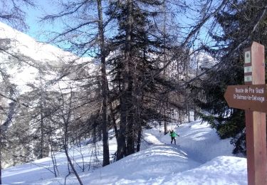
Ski de randonnée
Raquettes à neige
Marche
Marche
Marche