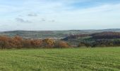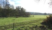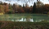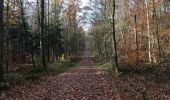

Le long de la frontière et de la Blies

piem
Utilisateur

Longueur
16,2 km

Altitude max
356 m

Dénivelé positif
374 m

Km-Effort
21 km

Altitude min
194 m

Dénivelé négatif
377 m
Boucle
Oui
Date de création :
2015-11-08 00:00:00.0
Dernière modification :
2015-11-08 00:00:00.0
4h30
Difficulté : Moyen

Application GPS de randonnée GRATUITE
À propos
Randonnée Marche de 16,2 km à découvrir à Sarre, Regionalverband Saarbrücken, Kleinbliederstroff. Cette randonnée est proposée par piem.
Description
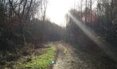
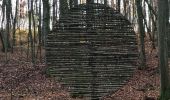
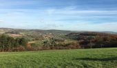
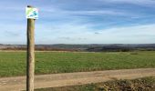
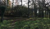
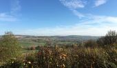
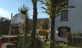
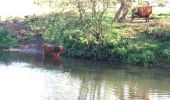
Randonnée très agréable le long de la frontière franco-allemande - l'itinéraire, sans difficulté, est un "Premium Wanderweg" très bien balisé d'un carré blanc avec logo bleu et vert, aménagé avec de nombreux bancs et agrémenté de sculptures
Localisation
Pays :
Allemagne
Région :
Sarre
Département/Province :
Regionalverband Saarbrücken
Commune :
Kleinbliederstroff
Localité :
Sitterswald
Départ:(Dec)
Départ:(UTM)
359261 ; 5443841 (32U) N.
Commentaires
Randonnées à proximité

Circuit Franco-Allemand n°2


A pied
Facile
Sarreguemines,
Grand Est,
Moselle,
France

11,1 km | 13,9 km-effort
3h 10min
Oui
Circuit Franco-Allemand n°1


A pied
Facile
Kleinbliederstroff,
Sarre,
Regionalverband Saarbrücken,
Allemagne

9,2 km | 10,6 km-effort
2h 24min
Oui
Allenberg-Tour


A pied
Facile
Mandelbachtal,
Sarre,
Saarpfalz-Kreis,
Allemagne

10,6 km | 13,3 km-effort
3h 1min
Oui

Breiter-Wald-Tour


A pied
Facile
Mandelbachtal,
Sarre,
Saarpfalz-Kreis,
Allemagne

8,5 km | 10,8 km-effort
2h 27min
Oui

Brudermannsfeld-Tour


A pied
Facile
Mandelbachtal,
Sarre,
Saarpfalz-Kreis,
Allemagne

6,5 km | 8,3 km-effort
1h 53min
Oui

Blies-Grenz-Weg


A pied
Moyen
Kleinbliederstroff,
Sarre,
Regionalverband Saarbrücken,
Allemagne

15,2 km | 20 km-effort
4h 35min
Oui
Ölschleifenweg


A pied
Facile
Kleinbliederstroff,
Sarre,
Regionalverband Saarbrücken,
Allemagne

13,7 km | 17,6 km-effort
4h 0min
Oui
Dragonerweg


A pied
Facile
Kleinbliederstroff,
Sarre,
Regionalverband Saarbrücken,
Allemagne

4,7 km | 5,5 km-effort
1h 15min
Non

210802 Golf Rouhling


Marche
Très facile
Rouhling,
Grand Est,
Moselle,
France

3,5 km | 4,1 km-effort
1h 12min
Non


 SityTrail


