


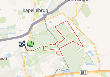


9,6 km | 10,2 km-effort


Utilisateur


Application GPS de randonnée GRATUITE
 SityTrail
IGN / Instituts géographiques
SityTrail World
Le monde est à vous
Randonnée Autre activité de 7,2 km à découvrir à Flandre, Flandre orientale, Stekene. Cette randonnée est proposée par 2heavy.
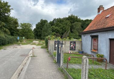
Mooie wandeling, interessant

A pied

A pied

A pied
Marche

A pied
Marche
Marche

Marche
Marche