


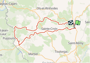

43 km | 51 km-effort


Utilisateur


Application GPS de randonnée GRATUITE
 SityTrail
IGN / Instituts géographiques
SityTrail World
Le monde est à vous
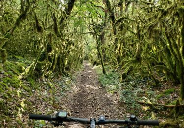
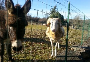
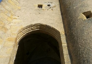
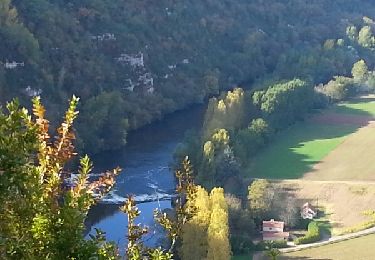
Randonnée V.T.T. de 40 km à découvrir à Occitanie, Aveyron, Villeneuve. Cette randonnée est proposée par Gerard_Soulie.
Villeneuve N Dame Stade SeCx La Pauzette Prox Lagarde D146 Bois de Margues Marroule VersGorgedel'Oule Carrefour Anglars Le Moulin à Vent Le Bournac Puech deLegre Méric La Capelle Prox Rinhaudes Bervic Tastayre Vercantelle Camp Claux Villeneuve
V.T.T.
V.T.T.
V.T.T.
Vélo électrique

Vélo électrique
V.T.T.
V.T.T.
V.T.T.
V.T.T.