Randonnée Marche Perpignan - 66 PERPIGNAN - tour du Serrat d'en Vaquer - Photo

66 PERPIGNAN - tour du Serrat d'en Vaquer

 jeff66
jeff66

Utilisateur

© OpenStreetMap contributors
Longueur
Longueur
6,4 km
Altitude max
Altitude max
86 m
Dénivelé positif
Dénivelé positif
87 m
Km-Effort
Km-Effort  
7,6 km
Altitude min
Altitude min
41 m
Dénivelé négatif
Dénivelé négatif
88 m
Boucle
Boucle
Oui
Date de création :
2015-11-03 00:00:00.0
Dernière modification :
2015-11-03 00:00:00.0

(0 Avis)

Marche
Marche
1h03
Difficulté : Facile

Scannez ce code QR pour ouvrir la randonnée dans l'application SityTrail

Application GPS de randonnée GRATUITE

Logo SityTrail SityTrail

IGN / Instituts géographiques

Télécharger SityTrail sur l'App Store Télécharger SityTrail sur Google Play

Logo SityTrail SityTrail World

Le monde est à vous

Télécharger SityTrail sur l'App Store Télécharger SityTrail sur Google Play Télécharger SityTrail sur Huawei AppGallery

À propos

Randonnée Marche de 6,4 km à découvrir à Occitanie, Pyrénées-Orientales, Perpignan. Cette randonnée est proposée par jeff66.

Description

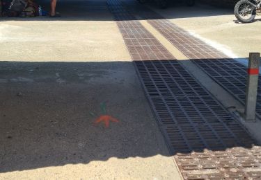
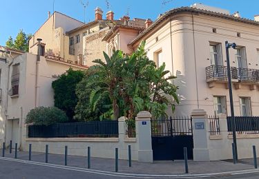
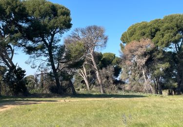
66 PERPIGNAN - tour du Serrat s'en Vaquer, mas Guiter, domaine Sarda-mallet. Mas Roig, carré royal immobilier,
Carrer Frédéric Pau Thiers, mas Sant Salvador, carrer Lluis de Bonnefoy, avenue Charles Deperet, tour des réservoirs, panorama sur Perpignan, la côte, les Albères, suivre panneaux las Canals, traverser le parking des centres commerciaux entre Auchan et boulanger, contourner le bat. Boulanger et rejoindre le canal de Perpignan, la Calmade, catalinya, vue sur les Albères, le Canigou, contourner le cimetière du Sud, mas Elaury et Juanole, chemin de sainte Barbe CR29

Profil altimétrique

Photos

Localisation

Pays :
France
Région :
Occitanie
Département/Province :
Pyrénées-Orientales
Commune :
Perpignan
Localité :
Unknown
Départ:(Dec)
Départ:(UTM)
488752 ; 4724013 (31T) N.

Randonnées à proximité

Randonnée Marche Montescot - 66 VILLENEUVE-DE-LA-RAHO grand tour du lac en Sens horaire  - Photo
Marche
jeff66

Marche

Facile
(1)
Montescot, Occitanie, Pyrénées-Orientales, France
6,7 km | 7,5 km-effort
1h 4min
Oui
Randonnée Marche Perpignan - Perpignan 01.10.2017  - Photo
Marche
jeff66

Marche

Facile
(1)
Perpignan, Occitanie, Pyrénées-Orientales, France
6,7 km | 7,5 km-effort
1h 39min
Non
Randonnée Marche Villeneuve-de-la-Raho - 66 VILLENEUVE-DE-LA-RAHO - grand tour périphérique du lac par les lignes de crêtes  - Photo
Marche
jeff66

Marche

Facile
(2)
Villeneuve-de-la-Raho, Occitanie, Pyrénées-Orientales, France
10 km | 11,5 km-effort
1h 44min
Oui
Randonnée V.T.T. Canohès - canohes - Photo
V.T.T.
haroldtheviking

V.T.T.

Moyen
(2)
Canohès, Occitanie, Pyrénées-Orientales, France
37 km | 44 km-effort
2h 12min
Oui
Randonnée Quad Villeneuve-de-la-Raho - Villeneuve-de-la-Raho-Collioure(Juillet-Aout) - Photo
Quad
Quad Ride

Quad

Très facile
(1)
Villeneuve-de-la-Raho, Occitanie, Pyrénées-Orientales, France
39 km | 44 km-effort
1h 40min
Non
Randonnée Marche Perpignan - petit tour à Perpignan  - Photo
Marche
GUIDE
stef789

Marche

Très facile
Perpignan, Occitanie, Pyrénées-Orientales, France
3,9 km | 4,2 km-effort
1h 53min
Oui
Randonnée Marche Perpignan - Perpignan  - Photo
Marche
ombrabella

Marche

Très facile
Perpignan, Occitanie, Pyrénées-Orientales, France
18 km | 19,9 km-effort
2h 23min
Non
Randonnée Marche Perpignan - canal Perpignan  - Photo
Marche
Fildesir

Marche

Très facile
Perpignan, Occitanie, Pyrénées-Orientales, France
25 km | 27 km-effort
7h 29min
Non
Randonnée Marche Perpignan - 66 PERPIGNAN, quartier MAV au Bas Vernet  - Photo
Marche
jeff66

Marche

Facile
Perpignan, Occitanie, Pyrénées-Orientales, France
10,7 km | 11,8 km-effort
1h 45min
Oui


Fermer
Mes abonnements