


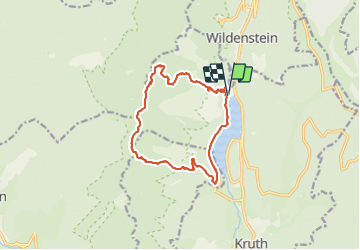

16,8 km | 27 km-effort

Utilisateur


Application GPS de randonnée GRATUITE
 SityTrail
IGN / Instituts géographiques
SityTrail World
Le monde est à vous
Randonnée Autre activité de 14,1 km à découvrir à Grand Est, Haut-Rhin, Kruth. Cette randonnée est proposée par Anlo.
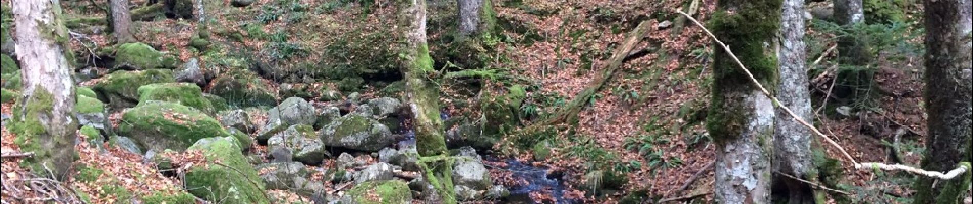
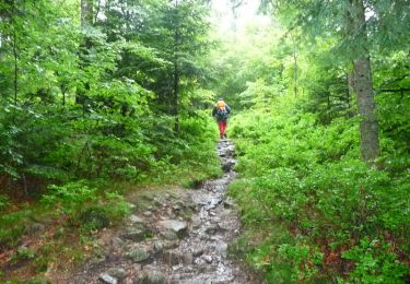
Grande et belle Rando, gros dénivelé sur les 2 premières heures et une descente difficile car très pierreux. Des paysages superbes sur les chaumes. Pour marcheur entrainé.


Marche

Marche

Marche

Marche

Marche

Marche
Marche

Raquettes à neige
Marche