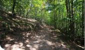

Le tour de Kysersberg

pascalou73
Utilisateur GUIDE

Longueur
7,9 km

Altitude max
413 m

Dénivelé positif
283 m

Km-Effort
11,7 km

Altitude min
239 m

Dénivelé négatif
286 m
Boucle
Oui
Date de création :
2015-10-15 00:00:00.0
Dernière modification :
2015-10-15 00:00:00.0
2h34
Difficulté : Moyen

Application GPS de randonnée GRATUITE
À propos
Randonnée Marche de 7,9 km à découvrir à Grand Est, Haut-Rhin, Kaysersberg-Vignoble. Cette randonnée est proposée par pascalou73.
Description
Une rando qui vas sur le haut de la ville.Une vue sur le château et sur les vignoble.Belle rando entre vignoble et forêt.
Localisation
Pays :
France
Région :
Grand Est
Département/Province :
Haut-Rhin
Commune :
Kaysersberg-Vignoble
Localité :
Kaysersberg
Départ:(Dec)
Départ:(UTM)
370329 ; 5334071 (32U) N.
Commentaires
Randonnées à proximité

D'Ammerschwihr aux Trois Epis


Marche
Difficile
(1)
Ammerschwihr,
Grand Est,
Haut-Rhin,
France

17,1 km | 25 km-effort
5h 35min
Oui
Tour de Labaroche


V.T.T.
Moyen
(1)
Labaroche,
Grand Est,
Haut-Rhin,
France

23 km | 31 km-effort
3h 30min
Oui
Du ⛺️ aux 4 villages


Marche
Moyen
Kaysersberg-Vignoble,
Grand Est,
Haut-Rhin,
France

12,9 km | 15,1 km-effort
3h 30min
Oui
2021-05-30 Marche Kaysersberg Ursprung St Alexis


Marche
Très difficile
Kaysersberg-Vignoble,
Grand Est,
Haut-Rhin,
France

17,1 km | 26 km-effort
4h 46min
Oui
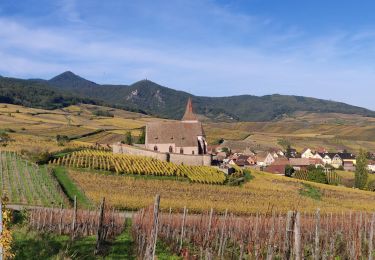
2019-10-26 CDTE67 Tournage Video Promotion TE


Randonnée équestre
Facile
Kaysersberg-Vignoble,
Grand Est,
Haut-Rhin,
France

24 km | 29 km-effort
24min
Non

Hunawihr - Riquewihr


Marche
Facile
(1)
Hunawihr,
Grand Est,
Haut-Rhin,
France

6,3 km | 9 km-effort
2h 15min
Oui
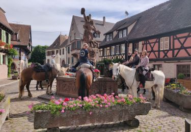
2019-06-09 Journee Sigolsheim boucle


Randonnée équestre
Très difficile
Kaysersberg-Vignoble,
Grand Est,
Haut-Rhin,
France

32 km | 45 km-effort
5h 55min
Oui
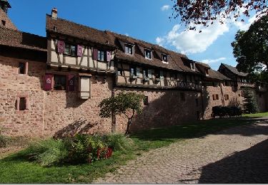
Sentier des grands crus


Marche
Moyen
(2)
Riquewihr,
Grand Est,
Haut-Rhin,
France

11,5 km | 14,4 km-effort
3h 7min
Oui
Hunawihr 2025-01


Marche
Moyen
Hunawihr,
Grand Est,
Haut-Rhin,
France

13,4 km | 21 km-effort
3h 30min
Non


 SityTrail


