Randonnée Marche Parzac - Le sentier de Tierce - Photo
 alainjoseph6
alainjoseph6

Utilisateur

© OpenStreetMap contributors
Longueur
Longueur
6,9 km
Altitude max
Altitude max
165 m
Dénivelé positif
Dénivelé positif
112 m
Km-Effort
Km-Effort  
8,4 km
Altitude min
Altitude min
104 m
Dénivelé négatif
Dénivelé négatif
114 m
Boucle
Boucle
Oui
Date de création :
2015-10-15 00:00:00.0
Dernière modification :
2015-10-15 00:00:00.0

(0 Avis)

Marche
Marche
1h38
Difficulté : Très facile

Scannez ce code QR pour ouvrir la randonnée dans l'application SityTrail

Application GPS de randonnée GRATUITE

Logo SityTrail SityTrail

IGN / Instituts géographiques

Télécharger SityTrail sur l'App Store Télécharger SityTrail sur Google Play

Logo SityTrail SityTrail World

Le monde est à vous

Télécharger SityTrail sur l'App Store Télécharger SityTrail sur Google Play Télécharger SityTrail sur Huawei AppGallery

À propos

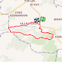
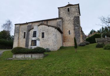
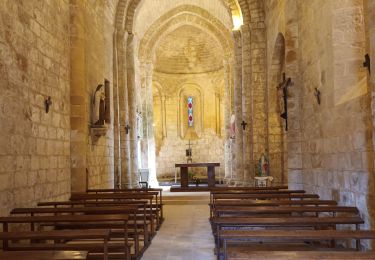
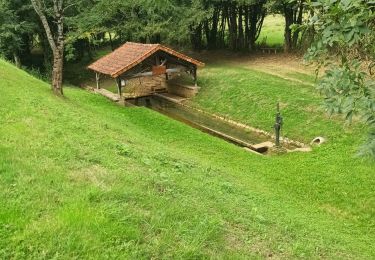
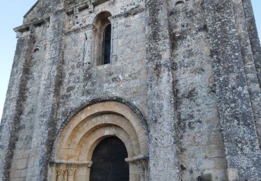
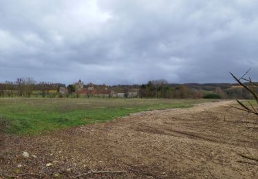
Randonnée Marche de 6,9 km à découvrir à Nouvelle-Aquitaine, Charente, Parzac. Cette randonnée est proposée par alainjoseph6.
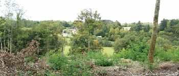
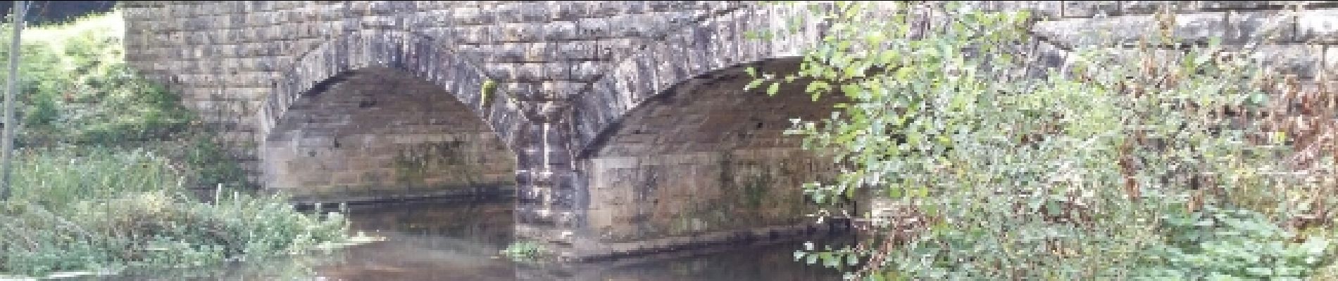
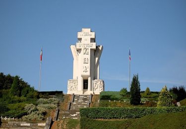
Description

Très agréable

Profil altimétrique

Photos

Points d'intérêt

Point d'intérêt Cellefrouin - Le logis de GOVALET - Photo
alainjoseph6
CELLEFROUIN 

Localisation

Pays :
France
Région :
Nouvelle-Aquitaine
Département/Province :
Charente
Commune :
Parzac
Localité :
Unknown
Départ:(Dec)
Départ:(UTM)
300057 ; 5088475 (31T) N.

Randonnées à proximité

Randonnée V.T.T. Chasseneuil-sur-Bonnieure - Dans la forêt de Chasseneuil - Photo
V.T.T.
tracegps

V.T.T.

Moyen
(1)
Chasseneuil-sur-Bonnieure, Nouvelle-Aquitaine, Charente, France
39 km | 46 km-effort
3h 0min
Oui
Randonnée Marche Confolens - Confolens - Photo
Marche
neoroll44

Marche

Moyen
(1)
Confolens, Nouvelle-Aquitaine, Charente, France
11,3 km | 13,8 km-effort
3h 10min
Oui
Randonnée V.T.C. Condac - rejellant chassane - Photo
V.T.C.
LUCQUIAUD Jean-Michel

V.T.C.

Facile
Condac, Nouvelle-Aquitaine, Charente, France
17,5 km | 19,6 km-effort
5h 11min
Non
Randonnée V.T.T. Nanteuil-en-Vallée - Nanteuil en Vallée  Rejalland - Photo
V.T.T.
LUCQUIAUD Jean-Michel

V.T.T.

Moyen
Nanteuil-en-Vallée, Nouvelle-Aquitaine, Charente, France
22 km | 25 km-effort
2h 2min
Non
Randonnée V.T.T. Alloue - Alloué Nanteuil en Vallée  - Photo
V.T.T.
LUCQUIAUD Jean-Michel

V.T.T.

Moyen
Alloue, Nouvelle-Aquitaine, Charente, France
20 km | 23 km-effort
1h 37min
Non
Randonnée Marche Val-de-Bonnieure - La randonnée des Palombes à Sainte Colombe 16 - Photo
Marche
alainjoseph6

Marche

Facile
Val-de-Bonnieure, Nouvelle-Aquitaine, Charente, France
7,9 km | 9,1 km-effort
2h 15min
Oui
Randonnée Marche Villejoubert - Villejoubert et le château de la Barre - Photo
Marche
alainjoseph6

Marche

Moyen
Villejoubert, Nouvelle-Aquitaine, Charente, France
7,4 km | 8,6 km-effort
2h 17min
Oui
Randonnée V.T.T. Massignac - 05_lac_hte_chte_34,1 km - Photo
V.T.T.
Thierry Lalouze

V.T.T.

Difficile
(1)
Massignac, Nouvelle-Aquitaine, Charente, France
34 km | 40 km-effort
2h 47min
Oui
Randonnée Marche Villejoubert - De Villejoubert à la Macarine - Photo
Marche
alainjoseph6

Marche

Facile
Villejoubert, Nouvelle-Aquitaine, Charente, France
4,9 km | 5,7 km-effort
1h 51min
Oui


Fermer
Mes abonnements