


9,8 km | 10,9 km-effort

Utilisateur


Application GPS de randonnée GRATUITE
 SityTrail
IGN / Instituts géographiques
SityTrail World
Le monde est à vous
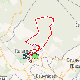
Randonnée Marche de 13 km à découvrir à Hauts-de-France, Nord, Raismes. Cette randonnée est proposée par corsinou.
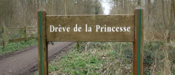
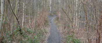
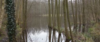
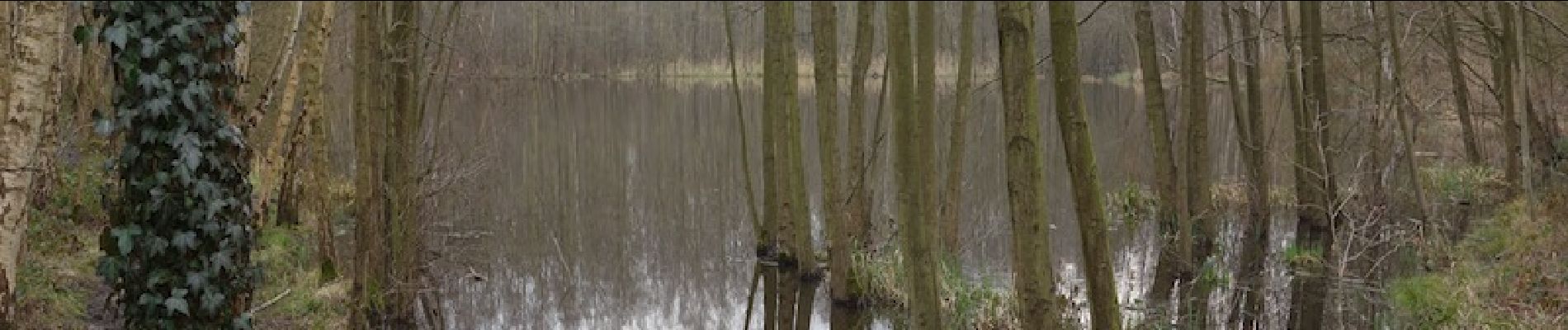
Circuit très sympa en Forêt Domaniale de Raismes.
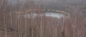
En étant observateur et discret vous pourrez admirer la faune de cet endroit très calme à cette période de l'année
Prévoir de bonne chaussure de marche pour les zones humides et si possible des batons de randonnées pour la descente du terril de Sabatier


Marche

Marche
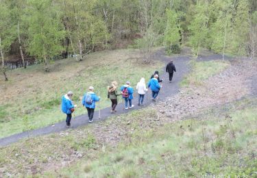
Marche

Marche
Marche

Marche

Marche


Marche
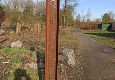
Super circuit juste le point de départ et désormais fermé donc prendre le départ comme l'arrivée pour rejoindre le chemin du minier .