


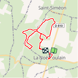


11,6 km | 14,5 km-effort

Utilisateur


Application GPS de randonnée GRATUITE
 SityTrail
IGN / Instituts géographiques
SityTrail World
Le monde est à vous
Randonnée Marche de 8,2 km à découvrir à Normandie, Eure, La Noë-Poulain. Cette randonnée est proposée par 7217Lionel.
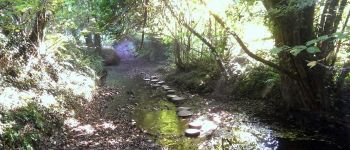
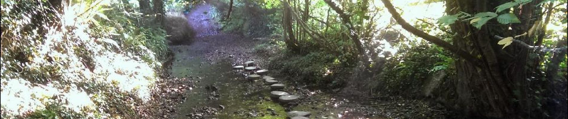
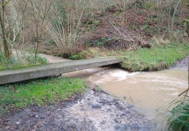
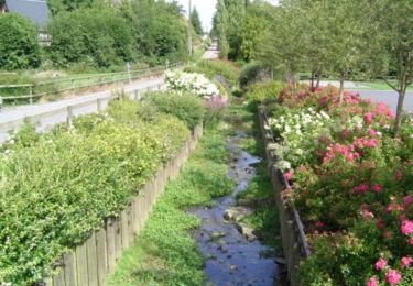
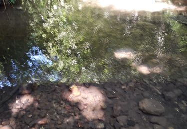
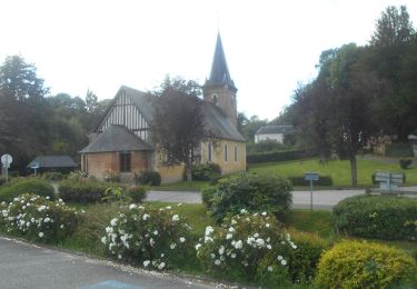
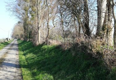
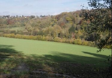
Sur le chemin de la Fontaine Sucrée: porte Romane de l'église, calvaire dans le cimetière, bocage dans la vallée, sources, gués et panoramas sur le Sébec.
DEPART: place du village de la Noë-Poulain.
Balisage : Bleu

Marche
Marche
Marche

Marche
Marche
Marche
Marche

Marche
Marche