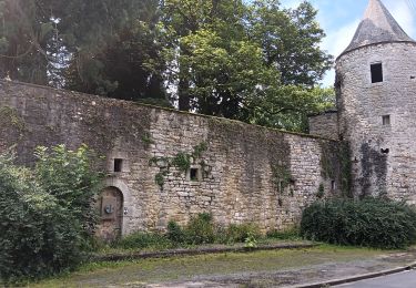
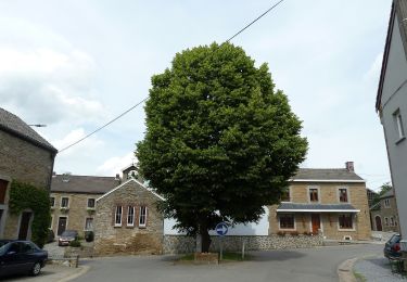
Randonnée Marche Tinlot - TINLOT - Promenade du D'Zy - Photo

TINLOT - Promenade du D'Zy

 henrineupre
henrineupre

Utilisateur

© OpenStreetMap contributors
Longueur
Longueur
12,3 km
Altitude max
Altitude max
303 m
Dénivelé positif
Dénivelé positif
191 m
Km-Effort
Km-Effort  
14,8 km
Altitude min
Altitude min
234 m
Dénivelé négatif
Dénivelé négatif
193 m
Boucle
Boucle
Oui
Balise
Balise
Date de création :
2014-12-10 00:00:00.0
Dernière modification :
2014-12-10 00:00:00.0

(0 Avis)

Marche
Marche
3h14
Difficulté : Moyen

Scannez ce code QR pour ouvrir la randonnée dans l'application SityTrail

Application GPS de randonnée GRATUITE

Logo SityTrail SityTrail

IGN / Instituts géographiques

Télécharger SityTrail sur l'App Store Télécharger SityTrail sur Google Play

Logo SityTrail SityTrail World

Le monde est à vous

Télécharger SityTrail sur l'App Store Télécharger SityTrail sur Google Play Télécharger SityTrail sur Huawei AppGallery

À propos

Randonnée Marche de 12,3 km à découvrir à Wallonie, Liège, Tinlot. Cette randonnée est proposée par henrineupre.

Description

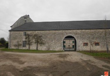
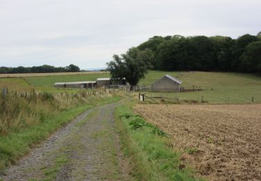
Lors de votre promenade, il vous sera possible de voir l’église Saint-Remacle ainsi que quelques chapelles. Vous trouverez également un camping sur le chemin. Celui-ci a été érigé sur les ruines de l’ancien château qui a brûlé en 1963. Sur le parcours de votre promenade, le bois de l’Herberain offre de beaux paysages boisés.

Balise: rectangle vert

Profil altimétrique

Photos

Points d'intérêt

Point d'intérêt Tinlot - Le D'Zy - Photo
henrineupre
TINLOT 
Point d'intérêt Tinlot - Camping - Photo
henrineupre
TINLOT 
Point d'intérêt Tinlot - Eglise Saint Remacle - Photo
henrineupre
Point d'intérêt Tinlot - C.N.R.F - Photo
henrineupre
TINLOT 
Point d'intérêt Tinlot - Borne seigneuriale - Photo
henrineupre
Point d'intérêt Tinlot - Potale et banc - Photo
henrineupre
Point d'intérêt Anthisnes - Château d'Houchenée - Photo
henrineupre
Point d'intérêt Ouffet - Village d'Ellemelle - Photo
henrineupre
Point d'intérêt Tinlot - Tige de l’Herberain - Photo
henrineupre
Point d'intérêt Tinlot - Selon la légende... - Photo
henrineupre

Localisation

Pays :
Belgique
Région :
Wallonie
Département/Province :
Liège
Commune :
Tinlot
Localité :
Fraiture
Départ:(Dec)
Départ:(UTM)
671270 ; 5594313 (31U) N.

Randonnées à proximité

Randonnée Marche Anthisnes - RB-Lg-18_Tavier - Photo
Marche
PRO

Marche

Très difficile
(10)
Anthisnes, Wallonie, Liège, Belgique
22 km | 28 km-effort
6h 19min
Oui
Randonnée Marche Ouffet - Warzée - Photo
Marche
Jacques Guisse

Marche

Facile
(1)
Ouffet, Wallonie, Liège, Belgique
10,3 km | 12,4 km-effort
2h 28min
Oui
Randonnée Marche Ouffet - ouffet fermes ac + - Photo
Marche
colsonandre

Marche

Moyen
(2)
Ouffet, Wallonie, Liège, Belgique
8,6 km | 10,7 km-effort
2h 41min
Oui
Randonnée Marche Nandrin - Villers le temple  .  st jean sart  .  clemaude  - Photo
Marche
GUIDE
stef789

Marche

Très facile
(1)
Nandrin, Wallonie, Liège, Belgique
7,9 km | 10,4 km-effort
2h 12min
Oui
Randonnée V.T.T. Anthisnes - première rando anthisne tavier - Photo
V.T.T.
Amby

V.T.T.

Moyen
(1)
Anthisnes, Wallonie, Liège, Belgique
10,2 km | 13,4 km-effort
1h 8min
Oui
Randonnée Marche Nandrin - promenade de la rochette : villers le temple - grand fond d'oxhe - villers le temple - Photo
Marche
GUIDE
stef789

Marche

Moyen
(1)
Nandrin, Wallonie, Liège, Belgique
10 km | 13,3 km-effort
2h 47min
Oui
Randonnée A pied Ouffet - 2. Balade des Loups - Photo
A pied
GUIDE+

A pied

Facile
Ouffet, Wallonie, Liège, Belgique
11,6 km | 13,8 km-effort
3h 7min
Oui
Randonnée A pied Anthisnes - AS06 Boucle des Sarts - Photo
A pied
GUIDE+

A pied

Facile
Anthisnes, Wallonie, Liège, Belgique
10,9 km | 13,6 km-effort
3h 4min
Oui
Randonnée Marche Nandrin - Balade des bois de Yernée - Photo
Marche
floflo61

Marche

Facile
(1)
Nandrin, Wallonie, Liège, Belgique
9,1 km | 11,8 km-effort
2h 9min
Oui


Fermer
Mes abonnements