


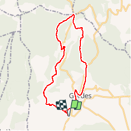


13 km | 17,6 km-effort

Utilisateur


Application GPS de randonnée GRATUITE
 SityTrail
IGN / Instituts géographiques
SityTrail World
Le monde est à vous
Randonnée Marche de 17,7 km à découvrir à Provence-Alpes-Côte d'Azur, Vaucluse, Gordes. Cette randonnée est proposée par marchev.
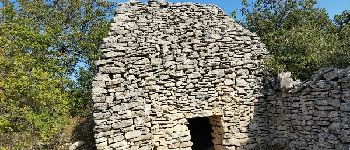
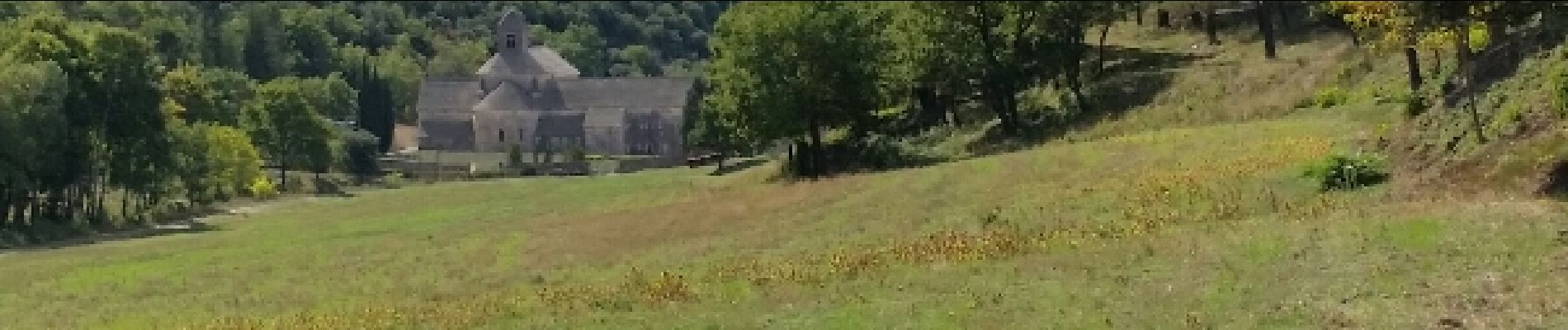
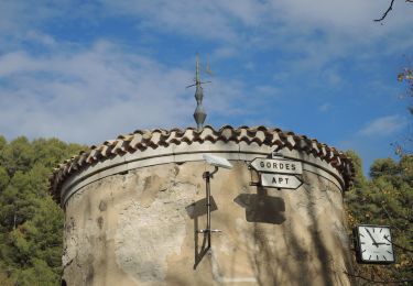
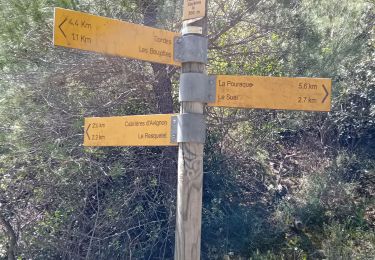
Départ parking avant le croisement de la D2 et D15. Village des bories, Sénanque. Col des 3 termes puis visite Gordes. Très jolie randonnée


A pied

V.T.T.

V.T.T.

V.T.T.

Marche

A pied
Marche

Marche
Marche