


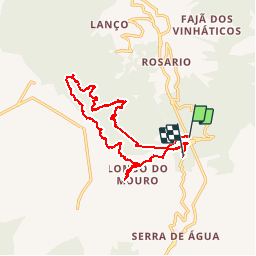

9,1 km | 26 km-effort


Utilisateur


Application GPS de randonnée GRATUITE
 SityTrail
IGN / Instituts géographiques
SityTrail World
Le monde est à vous
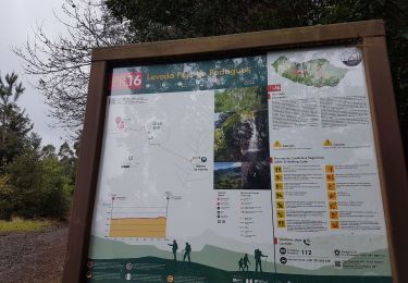
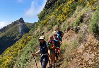
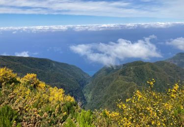
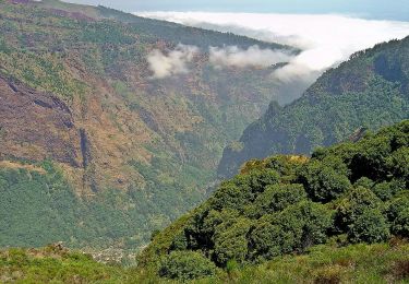
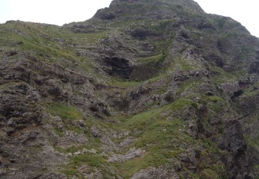
Randonnée Marche de 21 km à découvrir à Madère, Inconnu, Serra de Água. Cette randonnée est proposée par philpapito.
levadas ... et do Norte
Marche
A pied
Marche
Marche
Marche
A pied
A pied


Marche