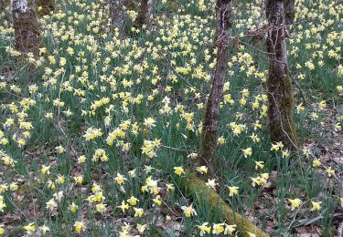
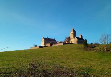
12,3 km | 17,2 km-effort
Sigy le Châtel
PapyChalon
Utilisateur
Longueur
9,8 km
Altitude max
409 m
Dénivelé positif
284 m
Km-Effort
13,6 km
Altitude min
212 m
Dénivelé négatif
280 m
Boucle
Oui
Date de création :
2014-12-10 00:00:00.0
Dernière modification :
2014-12-10 00:00:00.0
--
Difficulté : Inconnu
Application GPS de randonnée GRATUITE
À propos
Randonnée Marche de 9,8 km à découvrir à Bourgogne-Franche-Comté, Saône-et-Loire, Sigy-le-Châtel. Cette randonnée est proposée par PapyChalon.
Localisation
Pays :
France
Région :
Bourgogne-Franche-Comté
Département/Province :
Saône-et-Loire
Commune :
Sigy-le-Châtel
Localité :
Unknown
Départ:(Dec)
Départ:(UTM)
620684 ; 5156853 (31T) N.
Commentaires
Randonnées à proximité
Saint Ythaire Les Jonquilles page 104
Marche
Moyen
(5)
Saint-Ythaire,
Bourgogne-Franche-Comté,
Saône-et-Loire,
France
3h 36min
Oui
2023-03-08_saint-ythaire--les-jonquilles
Marche
Difficile
(1)
Saint-Ythaire,
Bourgogne-Franche-Comté,
Saône-et-Loire,
France
12,3 km | 17,2 km-effort
3h 54min
Oui
Sigy Le Chatel
Marche
Facile
(1)
Sigy-le-Châtel,
Bourgogne-Franche-Comté,
Saône-et-Loire,
France
10,7 km | 14 km-effort
3h 11min
Oui
Besanceuil
V.T.T.
Moyen
(1)
Bonnay,
Bourgogne-Franche-Comté,
Saône-et-Loire,
France
11,2 km | 15,7 km-effort
3h 52min
Oui
Mamou cross the hill
Marche
Facile
Saint-Huruge,
Bourgogne-Franche-Comté,
Saône-et-Loire,
France
6,1 km | 7,5 km-effort
1h 52min
Oui
oh! les beaux village
Marche
Moyen
Saint-Ythaire,
Bourgogne-Franche-Comté,
Saône-et-Loire,
France
8,4 km | 11,7 km-effort
2h 28min
Oui
20190822 Salornay sur Guye G3 GC
Marche
Facile
(1)
Salornay-sur-Guye,
Bourgogne-Franche-Comté,
Saône-et-Loire,
France
10,2 km | 14,2 km-effort
3h 2min
Oui
ythair
Marche
Moyen
Saint-Ythaire,
Bourgogne-Franche-Comté,
Saône-et-Loire,
France
13,8 km | 19,5 km-effort
3h 21min
Oui
si gt jonquilles
Marche
Moyen
(2)
Sigy-le-Châtel,
Bourgogne-Franche-Comté,
Saône-et-Loire,
France
8,4 km | 12 km-effort
3h 15min
Oui