


14,1 km | 19,8 km-effort

Utilisateur


Application GPS de randonnée GRATUITE
 SityTrail
IGN / Instituts géographiques
SityTrail World
Le monde est à vous
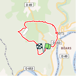
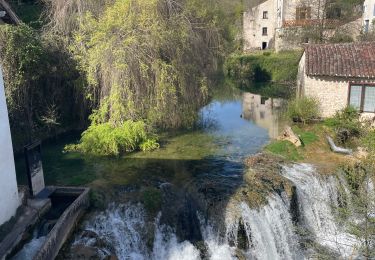
Randonnée Marche de 6,2 km à découvrir à Occitanie, Lot, Saint-Géry-Vers. Cette randonnée est proposée par GerardBouche.
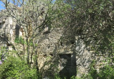
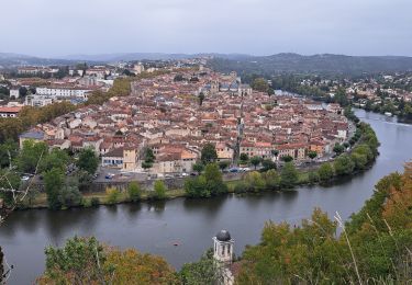
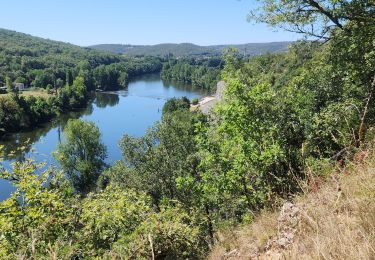
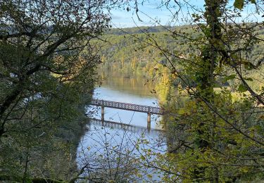
Au départ du parking visiteurs "Mas de Saboth" belle balade avec pt de vue sur le Lot et petits sentiers ombragés par le chêne pubescent.
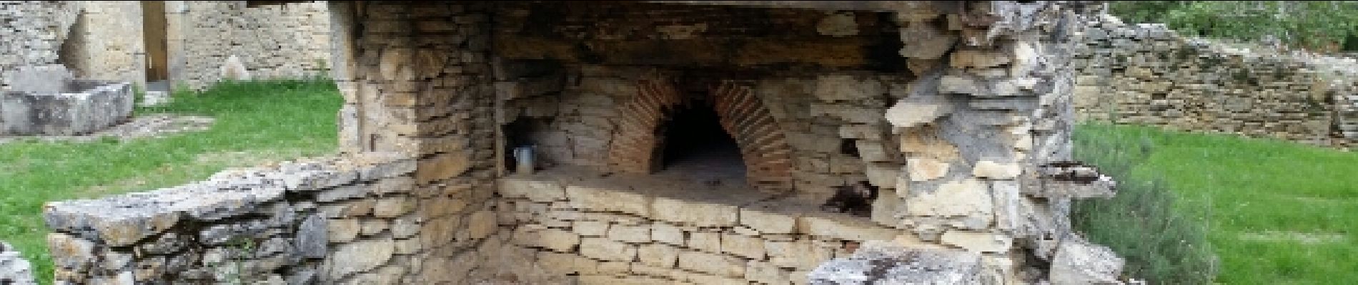
 - Photo 1")
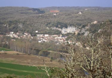
 - Photo 2")
Marche
Marche
Marche
V.T.T.
Marche
Marche

Marche

Vélo électrique
Fait le 11/11 avec Bene joli sentier