


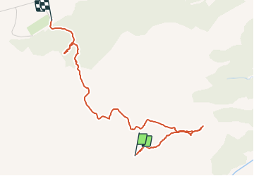

20 km | 31 km-effort

Utilisateur GUIDE


Application GPS de randonnée GRATUITE
 SityTrail
IGN / Instituts géographiques
SityTrail World
Le monde est à vous
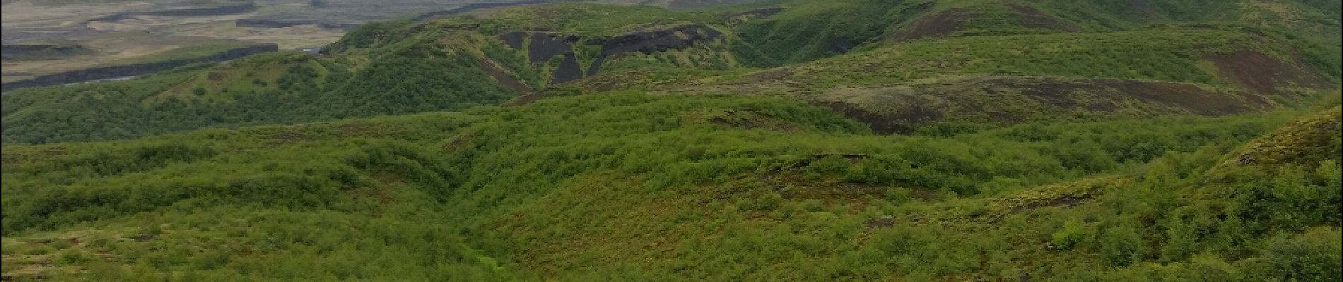
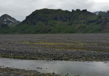
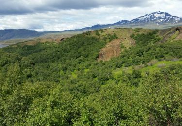
Randonnée Marche de 2,4 km à découvrir à Inconnu, Rangárþing eystra. Cette randonnée est proposée par dudu42.


Marche
Marche