


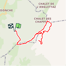

9 km | 15,6 km-effort


Utilisateur


Application GPS de randonnée GRATUITE
 SityTrail
IGN / Instituts géographiques
SityTrail World
Le monde est à vous
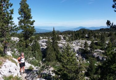
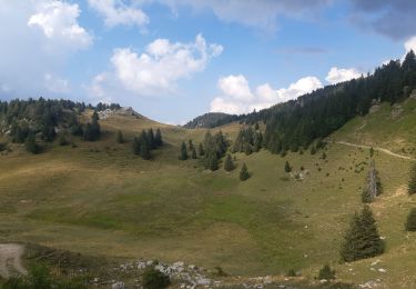
Randonnée Marche de 9,1 km à découvrir à Auvergne-Rhône-Alpes, Haute-Savoie, Villaz. Cette randonnée est proposée par yveshumbert.
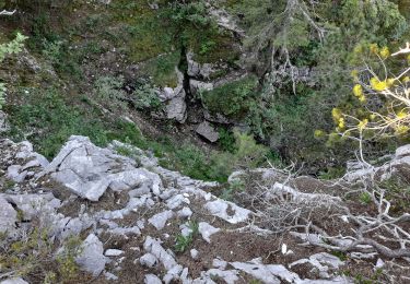
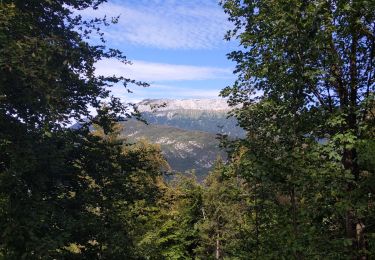
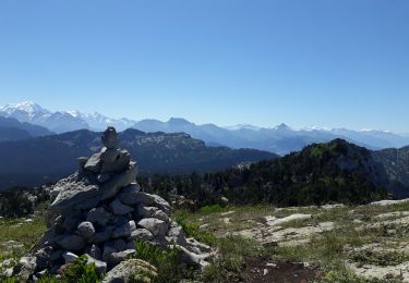
Rando d' une journée en boucle au départ du parking du Parmelan.
Pour la montée prennez le chemin qui monte directement au grand Montoire et à la descente celui qui passe par le petit Montoire Du sommet du Parmelan vous aurez une très jolie vue sur Annecy
Marche
Marche

Marche
Marche
Marche
A pied
Marche
Marche

Marche