


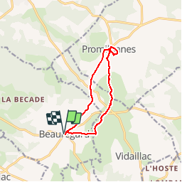

15,7 km | 18,8 km-effort

Utilisateur


Application GPS de randonnée GRATUITE
 SityTrail
IGN / Instituts géographiques
SityTrail World
Le monde est à vous
Randonnée Marche de 10,6 km à découvrir à Occitanie, Lot, Beauregard. Cette randonnée est proposée par GerardBouche.
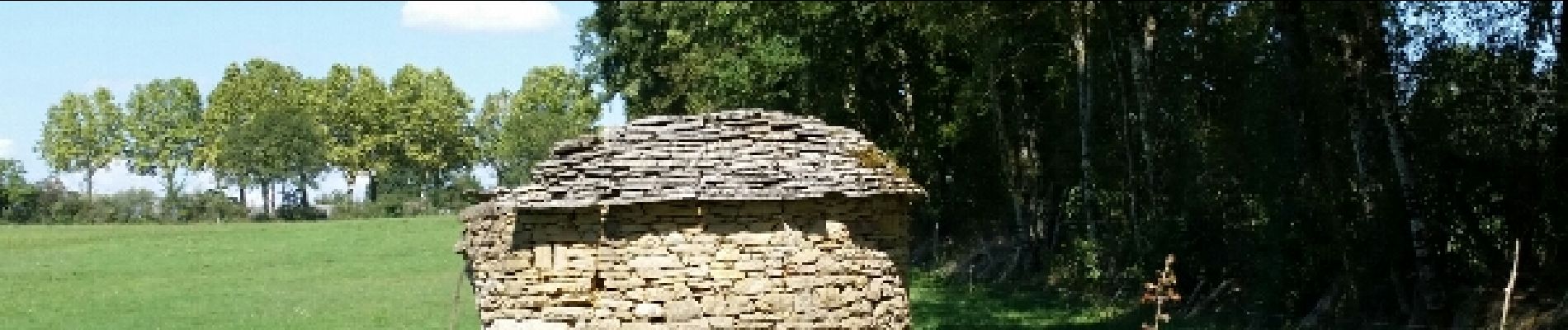
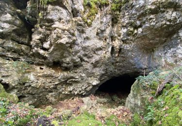
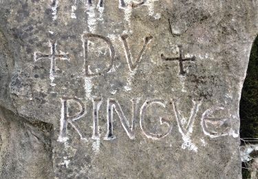
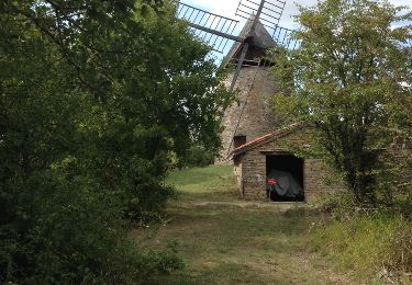
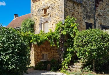
Très belle balade au départ des halles de Beauregard vers Promilhanes à la découverte d'anciens pigeonniers - gariottes et moulin à vent.
 - Photo 1")
 - Photo 2")
 - Photo 3")
 - Photo 4")
 - Photo 5")
 - Photo 6")
 - Photo 7")
 - Photo 8")

sport
Marche
Marche
Marche

Marche
Marche
