


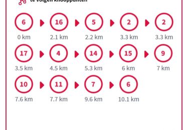
14,4 km | 15 km-effort


Utilisateur


Application GPS de randonnée GRATUITE
 SityTrail
IGN / Instituts géographiques
SityTrail World
Le monde est à vous
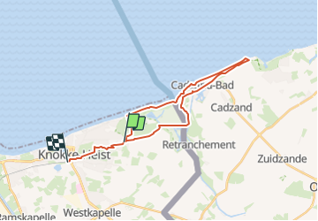
Randonnée Marche de 24 km à découvrir à Flandre, Flandre-Occidentale, Knocke-Heist. Cette randonnée est proposée par heb.
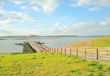
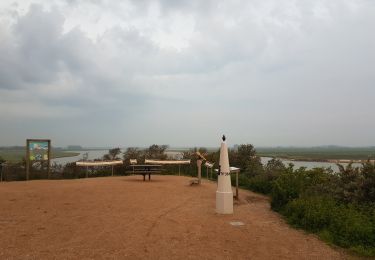
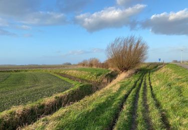
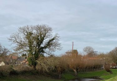
Randonnée variée à Cadzand. Pique-nique intégral dans les dunes bataves avec passage à gué dans l'estuaire du Zwin dans l'après-midi.
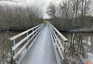
Retour par le Koningsbos, le Keuvelhoek
Marche
Marche
Marche
A pied
Marche

Marche
Marche
Marche
Marche