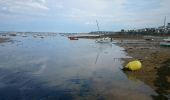
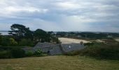
Randonnée Marche Carantec - Grand tour de l'Ile Callot - Photo

Grand tour de l'Ile Callot

Promenez-vous au bout du monde !

© OpenStreetMap contributors
Longueur
Longueur
12 km
Altitude max
Altitude max
26 m
Dénivelé positif
Dénivelé positif
95 m
Km-Effort
Km-Effort  
13,3 km
Altitude min
Altitude min
-1 m
Dénivelé négatif
Dénivelé négatif
96 m
Boucle
Boucle
Oui
Date de création :
2018-07-06 09:46:06.515
Dernière modification :
2018-07-06 09:46:06.515

(0 Avis)

Marche
Marche
2h10
Difficulté : Facile

Scannez ce code QR pour ouvrir la randonnée dans l'application SityTrail

Application GPS de randonnée GRATUITE

Logo SityTrail SityTrail
IGN / Instituts géographiques

Télécharger SityTrail sur l'App Store Télécharger SityTrail sur Google Play

Logo SityTrail SityTrail World
Le monde est à vous

Télécharger SityTrail sur l'App Store Télécharger SityTrail sur Google Play Télécharger SityTrail sur Huawei AppGallery

À propos

Randonnée Marche de 12 km à découvrir à Bretagne, Finistère, Carantec. Cette randonnée est proposée par Balades en Finistère.

Description

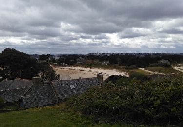
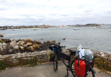
Au départ de la Grande Grève à Carantec, une grande ballade vers la pointe Nord de l'Ile Callot et Retour.
L'Ile Callot est accessible de 2h30 avant à 2h30 après la basse mer, port de Référence Roscoff.
Horaires de marée Roscoff : http://maree.info/72

Profil altimétrique

Photos

Points d'intérêt

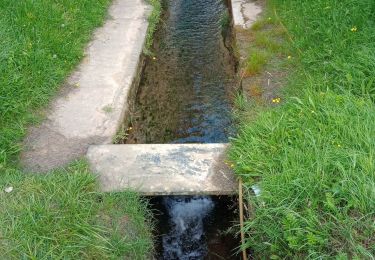
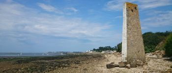
Point d'intérêt Carantec - Amer - Photo
olibreizh
CARANTEC 
Point d'intérêt Carantec - Voie Submersible - Photo
olibreizh
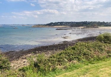
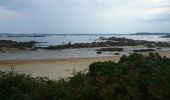
Point d'intérêt Carantec - Plages de Carantec - Photo
olibreizh

Localisation

Pays :
France
Région :
Bretagne
Département/Province :
Finistère
Commune :
Carantec
Localité :
Unknown
Départ:(Dec)
Départ:(UTM)
431509 ; 5389916 (30U) N.

Commentaires

Veuillez vous connecter pour laisser un commentaire ou une note


Randonnées à proximité

Randonnée Autre activité Carantec - le frout - ile calot 23,km - Photo
Autre activité
fiorepatrick

Autre activité

Très facile
(2)
Carantec, Bretagne, Finistère, France
23 km | 28 km-effort
6h 4min
Oui
Randonnée Marche Plouénan - Bretagne nord J3am - Plouénan - Carantec - Photo
Marche
GUIDE
chessyca

Marche

Très facile
Plouénan, Bretagne, Finistère, France
9 km | 10,9 km-effort
2h 10min
Non
Randonnée Marche Carantec - Autour de Carantec ( GR34) - Photo
Marche
GUIDE
pascalou73

Marche

Facile
Carantec, Bretagne, Finistère, France
13,3 km | 15,8 km-effort
4h 14min
Oui
Randonnée Marche Carantec - 30.08.23   Carantec -- Roscoff  - Photo
Marche
donda

Marche

Très difficile
Carantec, Bretagne, Finistère, France
23 km | 26 km-effort
5h 54min
Non
Randonnée Cyclotourisme Carantec - kermen à Goulven  - Photo
Cyclotourisme
GUIDE
nadd73

Cyclotourisme

Difficile
Carantec, Bretagne, Finistère, France
53 km | 59 km-effort
4h 41min
Non
Randonnée Marche Henvic - HENVIC  - Photo
Marche
RonanDAGORN

Marche

Moyen
Henvic, Bretagne, Finistère, France
9,8 km | 11,9 km-effort
2h 27min
Oui
Randonnée Marche Carantec - Tour de l'île Callot - Photo
Marche
GUIDE
yago1404

Marche

Facile
Carantec, Bretagne, Finistère, France
9,9 km | 11,4 km-effort
3h 9min
Oui
Randonnée A pied Henvic - Boucle du Vanneg - Photo
A pied
GUIDE+

A pied

Facile
Henvic, Bretagne, Finistère, France
9,2 km | 11,4 km-effort
2h 34min
Oui
Randonnée A pied Locquénolé - Circuit du Phare de la Lande - Photo
A pied
GUIDE+

A pied

Facile
Locquénolé, Bretagne, Finistère, France
7,9 km | 10,1 km-effort
2h 17min
Oui


Fermer
Mes abonnements