


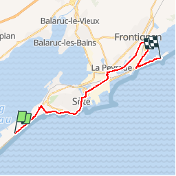

12,8 km | 14,6 km-effort


Utilisateur


Application GPS de randonnée GRATUITE
 SityTrail
IGN / Instituts géographiques
SityTrail World
Le monde est à vous
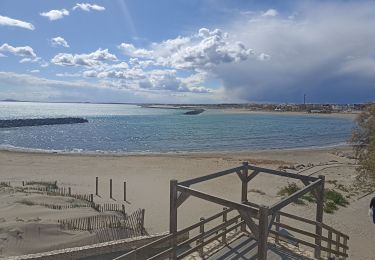
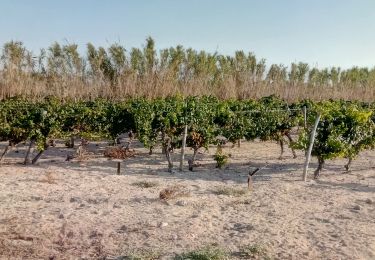
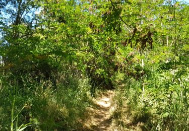
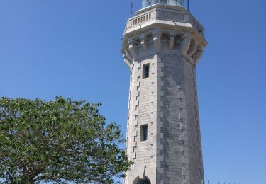
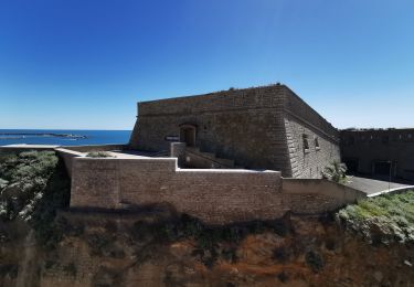
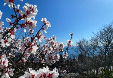
Randonnée Marche de 22 km à découvrir à Occitanie, Hérault, Sète. Cette randonnée est proposée par zazibelle.
Marche
Cyclotourisme
Marche
Marche


sport
Canoë - kayak

Marche