55 km | 63 km-effort
Souday le Plessis Dorin
jackalv
Utilisateur
Longueur
24 km
Altitude max
252 m
Dénivelé positif
295 m
Km-Effort
28 km
Altitude min
128 m
Dénivelé négatif
293 m
Boucle
Oui
Date de création :
2015-08-16 00:00:00.0
Dernière modification :
2015-08-16 00:00:00.0
6h10
Difficulté : Moyen
Application GPS de randonnée GRATUITE
À propos
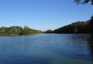
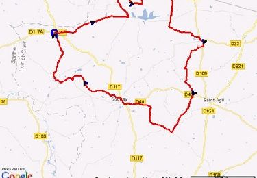
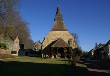
Randonnée Marche de 24 km à découvrir à Centre-Val de Loire, Loir-et-Cher, Couëtron-au-Perche. Cette randonnée est proposée par jackalv.
Localisation
Pays :
France
Région :
Centre-Val de Loire
Département/Province :
Loir-et-Cher
Commune :
Couëtron-au-Perche
Localité :
Souday
Départ:(Dec)
Départ:(UTM)
341967 ; 5323673 (31U) N.
Commentaires
Randonnées à proximité
Mondoubleau et ses environs - Oigny
V.T.T.
Difficile
Couëtron-au-Perche,
Centre-Val de Loire,
Loir-et-Cher,
France
3h 0min
Oui
A travers le Perche Sarthois et Vendômois
V.T.T.
Difficile
Couëtron-au-Perche,
Centre-Val de Loire,
Loir-et-Cher,
France
51 km | 60 km-effort
3h 0min
Oui
Boucle VTT à Souday
V.T.T.
Difficile
Couëtron-au-Perche,
Centre-Val de Loire,
Loir-et-Cher,
France
30 km | 34 km-effort
2h 0min
Oui
Randonnée VTT autour de Souday le 21.03.11
V.T.T.
Difficile
Couëtron-au-Perche,
Centre-Val de Loire,
Loir-et-Cher,
France
38 km | 44 km-effort
2h 45min
Non
St Agil 19.17
Marche
Moyen
Couëtron-au-Perche,
Centre-Val de Loire,
Loir-et-Cher,
France
19,2 km | 22 km-effort
Inconnu
Oui
plessis dorin 16.6
Marche
Très facile
Le Plessis-Dorin,
Centre-Val de Loire,
Loir-et-Cher,
France
16,2 km | 19,5 km-effort
4h 6min
Oui
Souday
Marche
Facile
Couëtron-au-Perche,
Centre-Val de Loire,
Loir-et-Cher,
France
18,4 km | 21 km-effort
6h 16min
Oui