


10,6 km | 11,8 km-effort


Utilisateur


Application GPS de randonnée GRATUITE
 SityTrail
IGN / Instituts géographiques
SityTrail World
Le monde est à vous
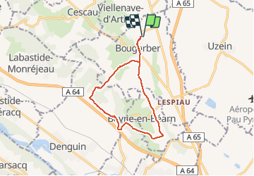
Randonnée Autre activité de 12,8 km à découvrir à Nouvelle-Aquitaine, Pyrénées-Atlantiques, Bougarber. Cette randonnée est proposée par scapulaire64.
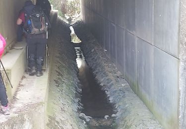
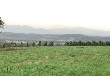
Depuis Bougarber passage sur les crêtes du Château puis descente sur le parcours du trou au loup. Au niveau du départ du trou au loup on récupère le circuit du tour de Beyrie puis retour sur Bougarber et sa porte fortifiée.

Marche
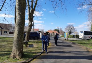
Marche
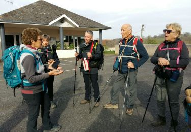
Marche
A pied
Marche
Marche

V.T.T.

A pied
A pied