6 km | 6,7 km-effort
glomel canal des bagnards
baladurien
Utilisateur
Longueur
9,3 km
Altitude max
244 m
Dénivelé positif
122 m
Km-Effort
10,9 km
Altitude min
186 m
Dénivelé négatif
122 m
Boucle
Oui
Date de création :
2016-03-09 00:00:00.0
Dernière modification :
2016-03-09 00:00:00.0
2h50
Difficulté : Facile
Application GPS de randonnée GRATUITE
À propos
Randonnée Course à pied de 9,3 km à découvrir à Bretagne, Côtes-d'Armor, Glomel. Cette randonnée est proposée par baladurien.
Description
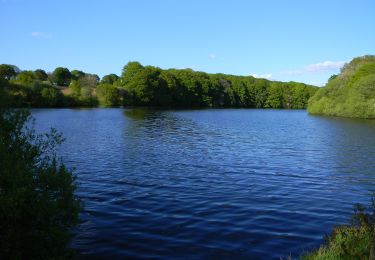
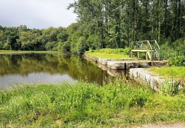
canaux lac
Localisation
Pays :
France
Région :
Bretagne
Département/Province :
Côtes-d'Armor
Commune :
Glomel
Localité :
Unknown
Départ:(Dec)
Départ:(UTM)
472126 ; 5342843 (30U) N.
Commentaires
Randonnées à proximité
Du Petit train à la vallée du Doré
A pied
Facile
Rostrenen,
Bretagne,
Côtes-d'Armor,
France
10,5 km | 12,7 km-effort
2h 53min
Non
Circuit de la Grande Tranchée
A pied
Facile
Glomel,
Bretagne,
Côtes-d'Armor,
France
9,3 km | 11,1 km-effort
2h 31min
Oui
GR_37_EA_07_Glomel_Carhaix-Plouguer_20200714
Marche
Très facile
Glomel,
Bretagne,
Côtes-d'Armor,
France
19,6 km | 22 km-effort
4h 34min
Non
Sentier des landes de Lan Bern et Grande Tranchée
A pied
Facile
Glomel,
Bretagne,
Côtes-d'Armor,
France
10,2 km | 11,5 km-effort
2h 36min
Oui
La grande tranchée
Marche
Facile
Glomel,
Bretagne,
Côtes-d'Armor,
France
9,1 km | 10,7 km-effort
2h 56min
Oui
Tour de l'etang du Corong depuis Mézouët
Marche
Facile
Glomel,
Bretagne,
Côtes-d'Armor,
France
12 km | 13,9 km-effort
4h 49min
Oui
Glomel (Les landes de Lann Bern et la grande tranchée du canal)
Marche
Moyen
Glomel,
Bretagne,
Côtes-d'Armor,
France
9,5 km | 10,6 km-effort
2h 23min
Oui