


8,3 km | 10,3 km-effort


Utilisateur


Application GPS de randonnée GRATUITE
 SityTrail
IGN / Instituts géographiques
SityTrail World
Le monde est à vous
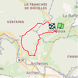
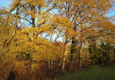
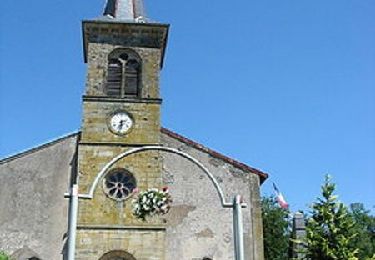
Randonnée Marche de 10,1 km à découvrir à Grand Est, Vosges, La Baffe. Cette randonnée est proposée par mmx007.
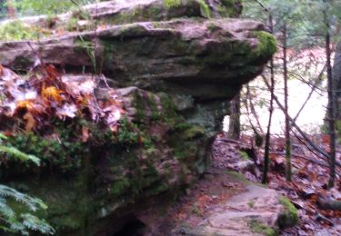
Parcours non balisé sur le terrain.
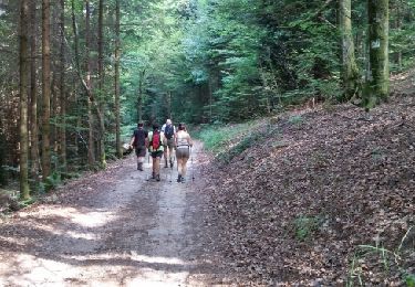
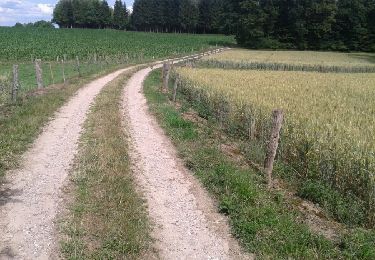
Départ Mossoux (arrêt des cars), rue Centrale, rue du Chauffour, prendre le chemin qui entre et monte dans la forêt à gauche puis continuer à droite 2 fois, route forestière de la Margotte, descente vers Archettes, et retour vers Mossoux par les fermes du Bois Formé, la source captée et la rue des Farces.
Parcours emprunté le 11 août 2015 (un peu caillouteux par endroits).
A pied
A pied
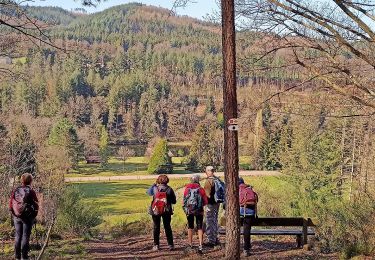
A pied

Marche
Marche
Marche
Marche
Marche
Marche