23 km | 36 km-effort
Hockneck 0715
bohynm
Utilisateur
Longueur
10,6 km
Altitude max
1355 m
Dénivelé positif
540 m
Km-Effort
17,7 km
Altitude min
923 m
Dénivelé négatif
519 m
Boucle
Oui
Date de création :
2015-08-03 00:00:00.0
Dernière modification :
2015-08-03 00:00:00.0
3h39
Difficulté : Difficile
Application GPS de randonnée GRATUITE
À propos
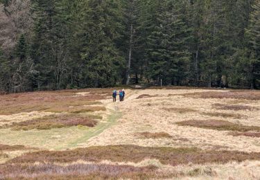
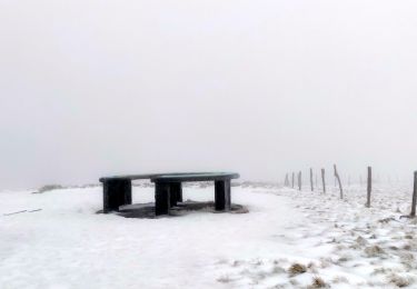
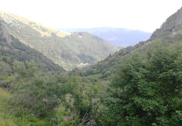
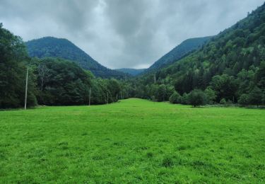
Randonnée Marche de 10,6 km à découvrir à Grand Est, Vosges, La Bresse. Cette randonnée est proposée par bohynm.
Localisation
Pays :
France
Région :
Grand Est
Département/Province :
Vosges
Commune :
La Bresse
Localité :
Unknown
Départ:(Dec)
Départ:(UTM)
350620 ; 5321114 (32U) N.
Commentaires
Randonnées à proximité
2023-04-16 Marche Abri Lac de Blanchemer vers Lac de Lispach
Marche
Très difficile
(1)
La Bresse,
Grand Est,
Vosges,
France
8h 4min
Non
2023-04-15 Marche Abri Collet de Etang vers Abri Lac de Blanchemer
Marche
Moyen
(1)
La Bresse,
Grand Est,
Vosges,
France
22 km | 35 km-effort
7h 51min
Non
2022-02-20 Marche Kruth Grand Ventron
Marche
Très difficile
(1)
Wildenstein,
Grand Est,
Haut-Rhin,
France
16,8 km | 27 km-effort
4h 52min
Oui
Les Rochers des Hirschsteine - Lac Vert
Marche
Difficile
(2)
Le Valtin,
Grand Est,
Vosges,
France
14,4 km | 22 km-effort
5h 2min
Oui
TREK ALSACIEN (boucle de Wildenstein)
Marche
Difficile
(1)
Wildenstein,
Grand Est,
Haut-Rhin,
France
15,4 km | 24 km-effort
5h 20min
Oui
Le Sentier des Roches
Marche
Difficile
(2)
Le Valtin,
Grand Est,
Vosges,
France
20 km | 34 km-effort
7h 43min
Oui
Lac de Lispach et sentier Dielaine
Marche
Moyen
(1)
La Bresse,
Grand Est,
Vosges,
France
9,7 km | 14,9 km-effort
2h 30min
Oui
Tour du belvedere avec le passage sur les crêtes
Marche
Très facile
(3)
Stosswihr,
Grand Est,
Haut-Rhin,
France
8,5 km | 0 m-effort
2h 28min
Oui
Kastelberg des pierres, des lacs, des panoramas magnifiques
Marche
Difficile
(1)
La Bresse,
Grand Est,
Vosges,
France
15,1 km | 26 km-effort
6h 11min
Oui