


3,6 km | 5 km-effort

Utilisateur


Application GPS de randonnée GRATUITE
 SityTrail
IGN / Instituts géographiques
SityTrail World
Le monde est à vous
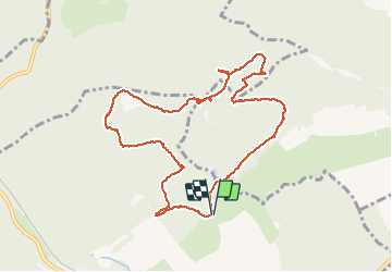
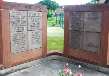
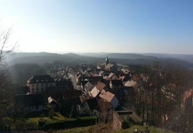
Randonnée Marche de 10 km à découvrir à Grand Est, Bas-Rhin, Ingwiller. Cette randonnée est proposée par fedinois1.
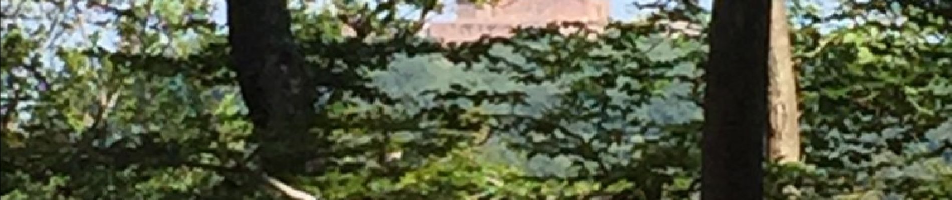
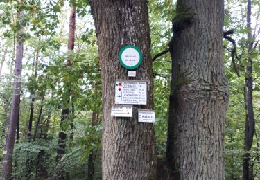
Randonnée facile. A voir : ruines d'une chapelle. Des panneaux explicatifs sur les arbres rencontrés. Stationnement facile surin terrain à proximité d'un chalet du club vosgien.


A pied
A pied
Marche
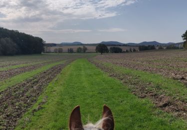
Randonnée équestre

Randonnée équestre
Marche
Marche
Marche
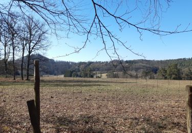
Belle petite randonnée (presque une promenade !