


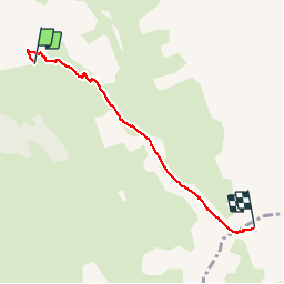

7,7 km | 14,9 km-effort

Utilisateur


Application GPS de randonnée GRATUITE
 SityTrail
IGN / Instituts géographiques
SityTrail World
Le monde est à vous
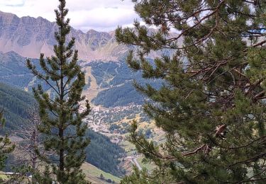
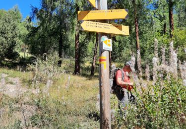
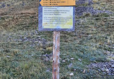
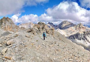
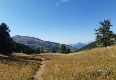
Randonnée Marche de 5 km à découvrir à Provence-Alpes-Côte d'Azur, Hautes-Alpes, Vars. Cette randonnée est proposée par yoyolyon.
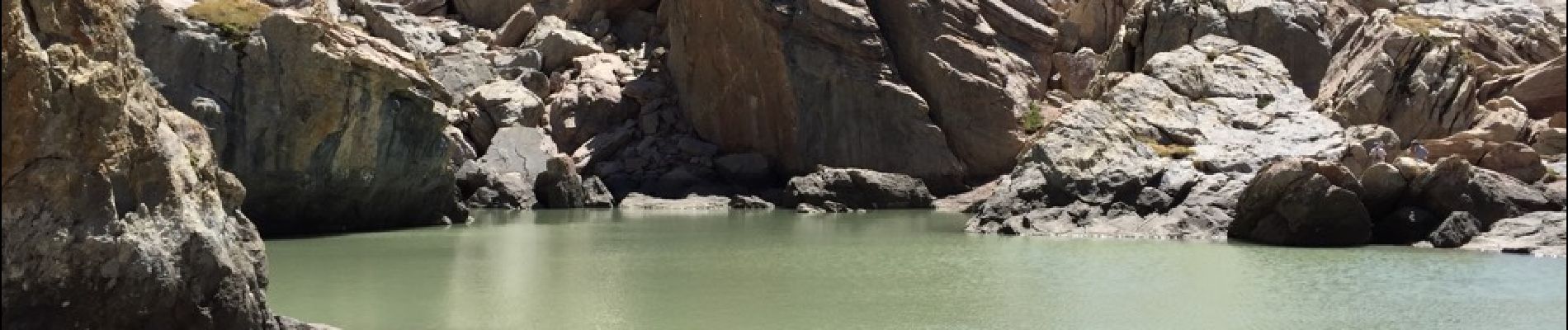
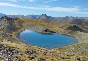
Depuis le parking des couinets monter jusqu'au lac. Marmottes en veux tu en voilà et champs d'edelweiss.


Marche

Marche

Autre activité
Vélo électrique
Marche
Marche
Marche
Marche
Marche