


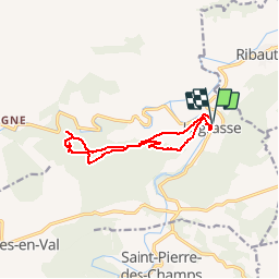

19,6 km | 26 km-effort


Utilisateur


Application GPS de randonnée GRATUITE
 SityTrail
IGN / Instituts géographiques
SityTrail World
Le monde est à vous
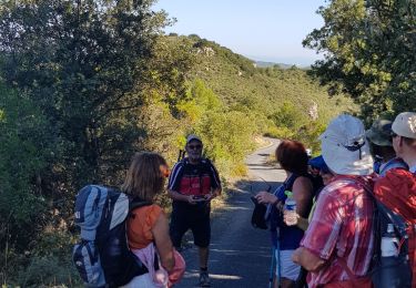
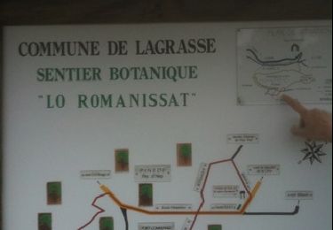
Randonnée Marche de 11,2 km à découvrir à Occitanie, Aude, Lagrasse. Cette randonnée est proposée par 7217Lionel.
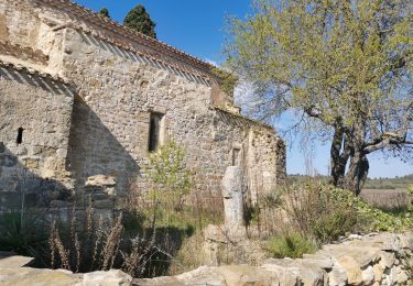
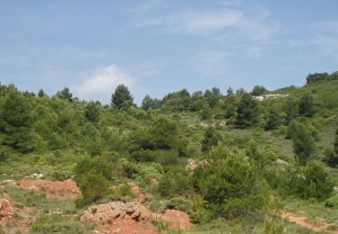
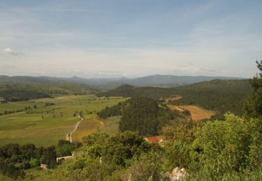
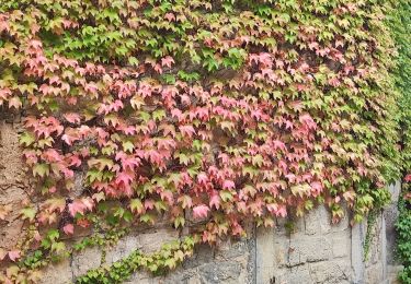
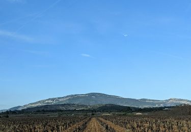
Au coeur des basses Corbières,le village de Lagrasse se blottit dans les circonvolutions du cours de la rivière Orbieu.Par un chemin de garrigue et traversant de multiples forêts, la balade rejoint un ancien castrum aujourd'hui chapelle.
Marche
Marche
Marche
Marche
Marche
Marche
Marche
Marche
Marche