


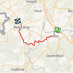

26 km | 33 km-effort


Utilisateur


Application GPS de randonnée GRATUITE
 SityTrail
IGN / Instituts géographiques
SityTrail World
Le monde est à vous
Randonnée Marche de 22 km à découvrir à Wallonie, Luxembourg, Wellin. Cette randonnée est proposée par mozzipsc.
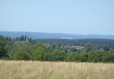
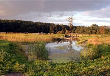
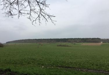
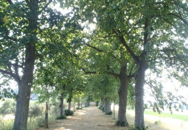
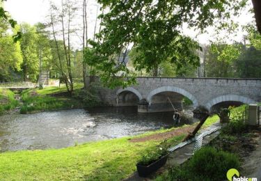
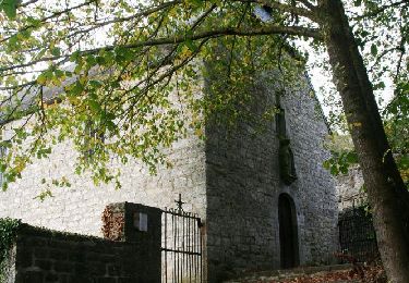
Très beau parcours particulierement dans les bois du Crahau,Fays,Eclaye magnifiques. Côtes pour la journée sans trop de difficulté. Quelques sentiers épiques aussi ;-)
Marche
Marche

Marche

Marche
Marche
Marche
Marche
Vélo
Marche