


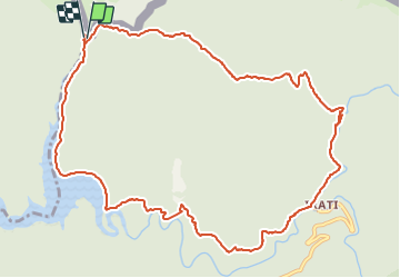

3,5 km | 4,8 km-effort


Utilisateur


Application GPS de randonnée GRATUITE
 SityTrail
IGN / Instituts géographiques
SityTrail World
Le monde est à vous
Randonnée Marche de 13,5 km à découvrir à Nouvelle-Aquitaine, Pyrénées-Atlantiques, Lecumberry. Cette randonnée est proposée par DECHAMPD.
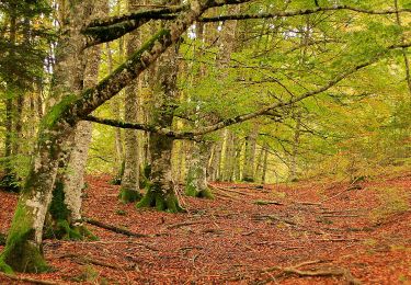
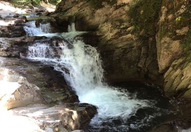
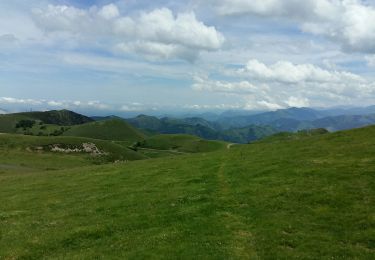
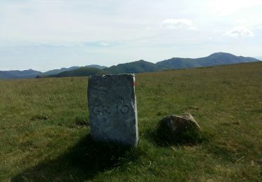
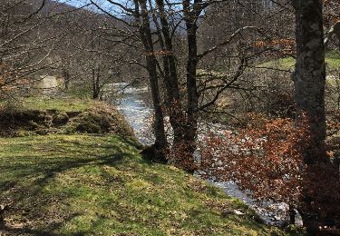
forêt primitive Irabia Iraty par Kontrasario 1198m El Cubo, rio iraty jusqu'à la maison forestière du lac en suivant le GR 11 jusqu'au Puente de la Cuestion et la borne frontière 225 après le gué.
A pied

A pied
Marche
Marche
Marche

Marche

Marche

Marche
Marche