


17,5 km | 21 km-effort

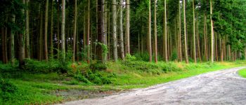
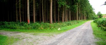
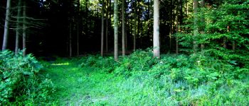
forêts de France


Application GPS de randonnée GRATUITE
 SityTrail
IGN / Instituts géographiques
SityTrail World
Le monde est à vous
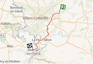
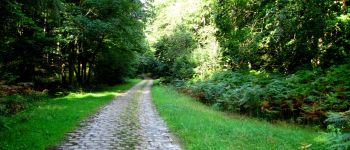
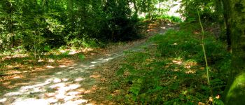
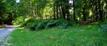
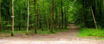
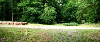
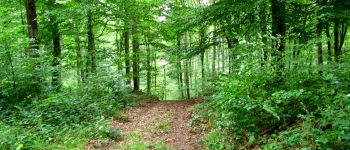
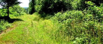
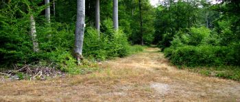
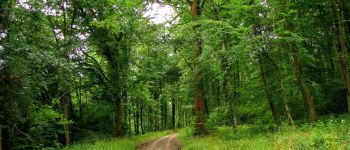
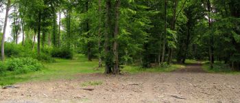
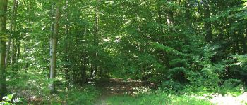
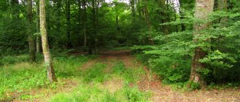
Randonnée Marche de 27 km à découvrir à Hauts-de-France, Aisne, Longpont. Cette randonnée est proposée par en forêt de Retz.
07/ 2015
voir aussi:
batterie de rechange pour iphone indispensable.
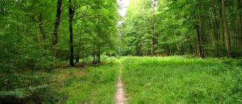
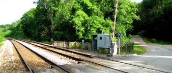
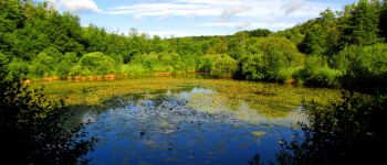
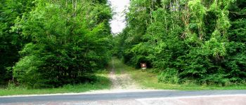
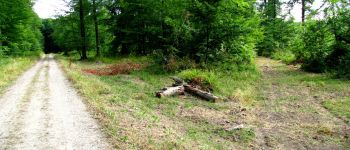
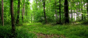
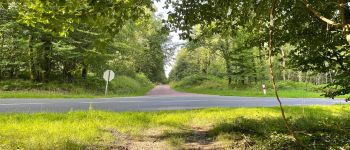
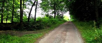
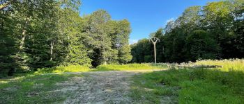
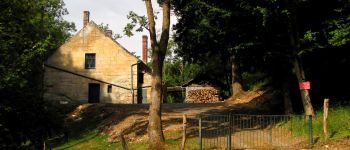
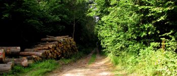
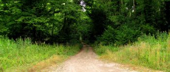
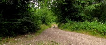
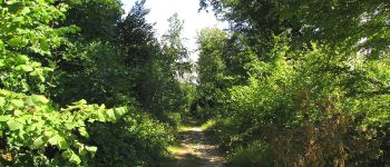
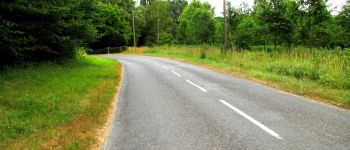
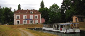
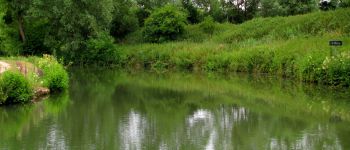
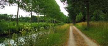
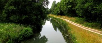
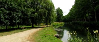
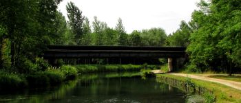
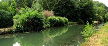
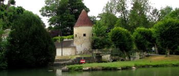
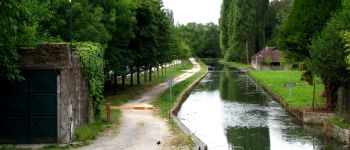
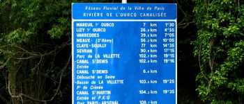
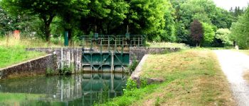
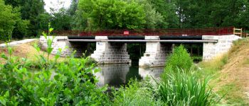
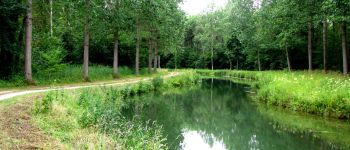
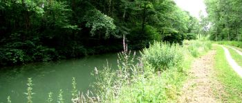
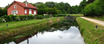
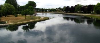
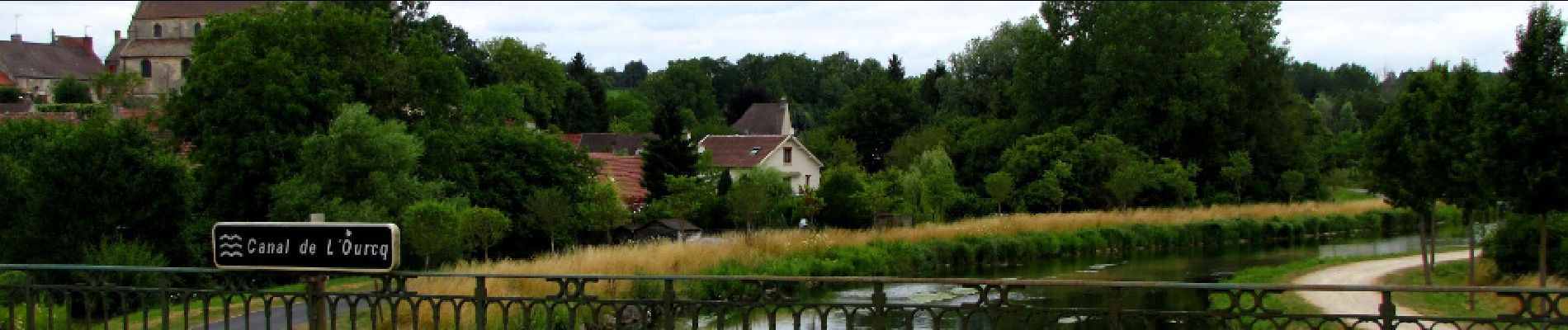
au départ de l'Abbaye de Longpont prendre le GR11A aux "trois maisons". Rejoindre le vieux chemin de Longpont et le suivre jusqu'à l'intersection avec la laie de la Grosse Pierre. Prendre à gauche jusqu'au carrefour de Château Fée. Prendre la laie de la Grosse Pierre jusqu'à l'étang de la Petite Ramée. Traverser la D80 et continuer jusqu'au carrefour des Cornillards. Prendre à gauche la laie de Hautwison jusqu'au carrefour du Trou de Terelle. Prendre à droite la laie de la Poudrerie. Continuer sur la laie de Pont Robert en passant la maison forestière du Buchet et jusqu'au carrefour du Pont Robert. Suivre le GR11 jusqu'au Port aux Perches. Prendre le canal de l'Ourcq jusqu'à Mareuil sur Ourcq.


201 photos au total. Cliquez sur une photo pour les afficher toutes dans la galerie.

Marche

Marche

Marche

A pied

A pied

Marche

Marche

Marche

Marche