


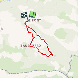

13,3 km | 22 km-effort


Utilisateur


Application GPS de randonnée GRATUITE
 SityTrail
IGN / Instituts géographiques
SityTrail World
Le monde est à vous
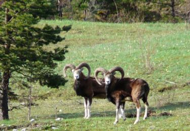
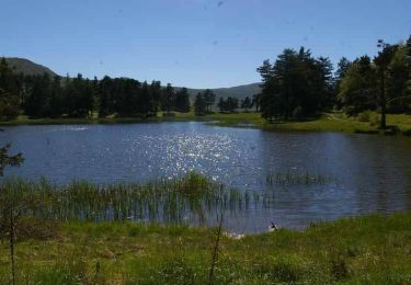
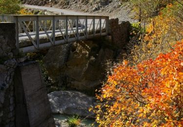
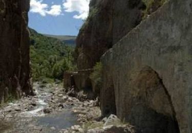
Randonnée Marche de 12,4 km à découvrir à Provence-Alpes-Côte d'Azur, Alpes-de-Haute-Provence, Bayons. Cette randonnée est proposée par rigol05.
Randonnée du 10/07/2015
Le sentier aléatoire passant par le Rocher de Cournaud est inexistant(dommage!), il est préférable de suivre le GR par la piste.
Marche
Marche
Marche

Marche
Marche
Marche
Marche
Marche

Randonnée équestre