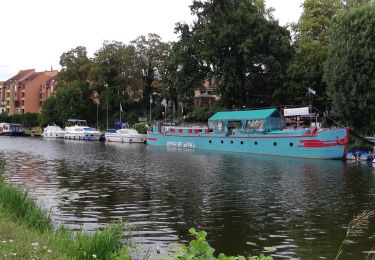
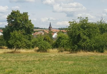
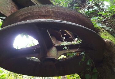
3 km | 4,2 km-effort
sortie 1
tigrou57
Utilisateur
Longueur
13,1 km
Altitude max
365 m
Dénivelé positif
320 m
Km-Effort
17,3 km
Altitude min
214 m
Dénivelé négatif
300 m
Boucle
Non
Date de création :
2015-07-09 00:00:00.0
Dernière modification :
2015-07-09 00:00:00.0
2h08
Difficulté : Inconnu
Application GPS de randonnée GRATUITE
À propos
Randonnée Cheval de 13,1 km à découvrir à Grand Est, Moselle, Alsting. Cette randonnée est proposée par tigrou57.
Localisation
Pays :
France
Région :
Grand Est
Département/Province :
Moselle
Commune :
Alsting
Localité :
Unknown
Départ:(Dec)
Départ:(UTM)
354553 ; 5449643 (32U) N.
Commentaires
Randonnées à proximité
Rundweg Historischer Halberg
A pied
Facile
Sarrebruck,
Sarre,
Regionalverband Saarbrücken,
Allemagne
56min
Non
Ölschleifenweg
A pied
Facile
Kleinbliederstroff,
Sarre,
Regionalverband Saarbrücken,
Allemagne
13,7 km | 17,6 km-effort
4h 0min
Oui
Dragonerweg
A pied
Facile
Kleinbliederstroff,
Sarre,
Regionalverband Saarbrücken,
Allemagne
4,7 km | 5,5 km-effort
1h 15min
Non
Sur les hauteurs de Grosbliederstroff - Lixing lès Rouhling
Marche
Moyen
Lixing-lès-Rouhling,
Grand Est,
Moselle,
France
14,3 km | 18,4 km-effort
3h 45min
Oui
Les hauteurs d'Alsting - Zinzing
Marche
Moyen
Alsting,
Grand Est,
Moselle,
France
16,2 km | 21 km-effort
4h 10min
Oui
EXT60 Behren-01
Vélo de route
Moyen
Behren-lès-Forbach,
Grand Est,
Moselle,
France
60 km | 70 km-effort
2h 45min
Oui
Le petit tour de kerbach
Marche
Facile
Kerbach,
Grand Est,
Moselle,
France
5,3 km | 6,5 km-effort
1h 20min
Oui
Eric Spicheren
Marche
Facile
Spicheren,
Grand Est,
Moselle,
France
14,1 km | 17,8 km-effort
4h 6min
Oui
boucle etzling-cocheren-hoste-sarreguemines
Vélo électrique
Moyen
Etzling,
Grand Est,
Moselle,
France
69 km | 83 km-effort
3h 34min
Oui