


20 km | 26 km-effort


Utilisateur


Application GPS de randonnée GRATUITE
 SityTrail
IGN / Instituts géographiques
SityTrail World
Le monde est à vous
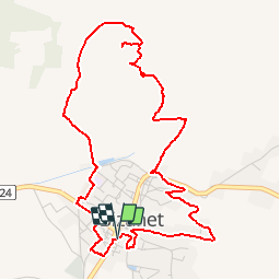
Randonnée Marche de 5,9 km à découvrir à Occitanie, Aude, Bizanet. Cette randonnée est proposée par 7217Lionel.
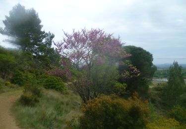
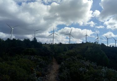
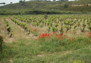
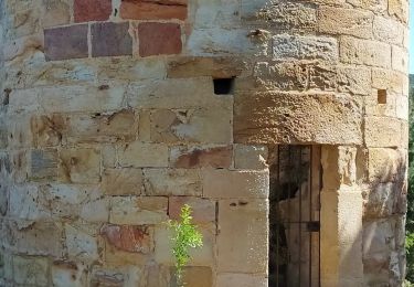
Les collines au sud de Bizanet s'ouvre sur le village, la plaine et le massif de Frontfroide. Ce circuit, ponctué de tables panoramiques, vous invite à les parcourir.
Parking: Médiathèque
balisage: jaune
Autre activité
Marche

Marche
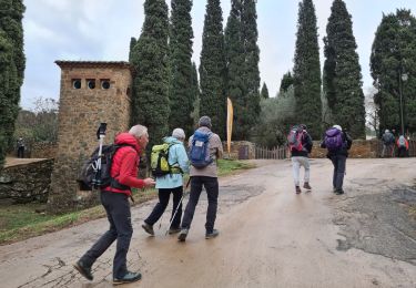
Marche
Marche
Marche
Marche
Marche