


6,3 km | 11,2 km-effort

Utilisateur GUIDE


Application GPS de randonnée GRATUITE
 SityTrail
IGN / Instituts géographiques
SityTrail World
Le monde est à vous
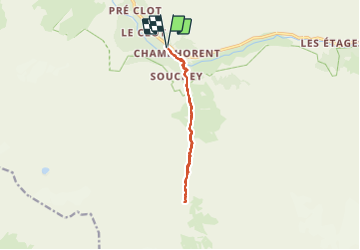
Randonnée Marche de 12,9 km à découvrir à Auvergne-Rhône-Alpes, Isère, Saint-Christophe-en-Oisans. Cette randonnée est proposée par Orcal37.
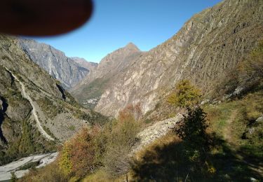
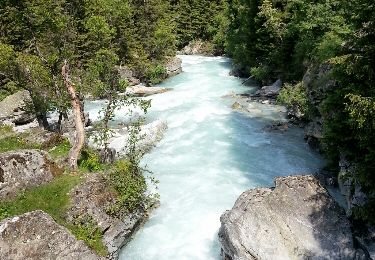
Saint-Christophe-en-Oisans - de Champhorent au Refuge de La Lavey - 12.9km 570m 5h40 (1h00) - 2015 06 24
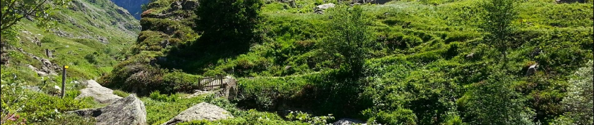
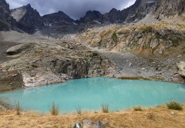
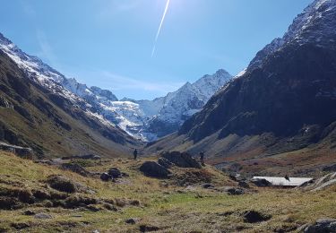
 - 2015 06 24 - Photo 1")
 - 2015 06 24 - Photo 2")
 - 2015 06 24 - Photo 3")
 - 2015 06 24 - Photo 4")
 - 2015 06 24 - Photo 5")
 - 2015 06 24 - Photo 6")
 - 2015 06 24 - Photo 7")

Marche

Marche

Marche

Marche
Marche
Marche
Marche
Marche

Marche