


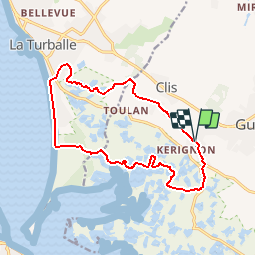

9,8 km | 10,6 km-effort


Utilisateur


Application GPS de randonnée GRATUITE
 SityTrail
IGN / Instituts géographiques
SityTrail World
Le monde est à vous
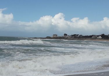
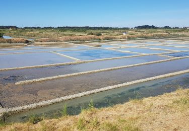
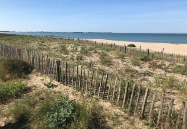
Randonnée Marche de 14,8 km à découvrir à Pays de la Loire, Loire-Atlantique, Guérande. Cette randonnée est proposée par neoroll44.
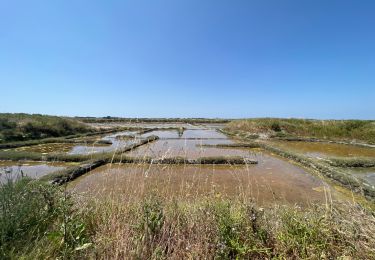
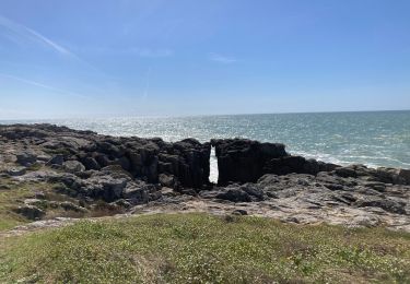
La plage, la forêt de pins, les marais salants, les côteaux de Guérande: un site unique! Respectez les propriétés privées et les oiseaux nichant dans le marais. restez sur les sentiers! Merci.
Marche

Marche
Marche
Marche
Marche
Marche

A pied
Marche
Marche